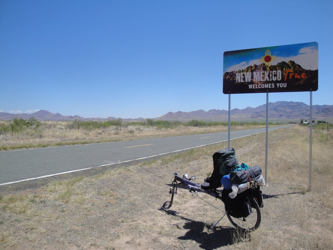
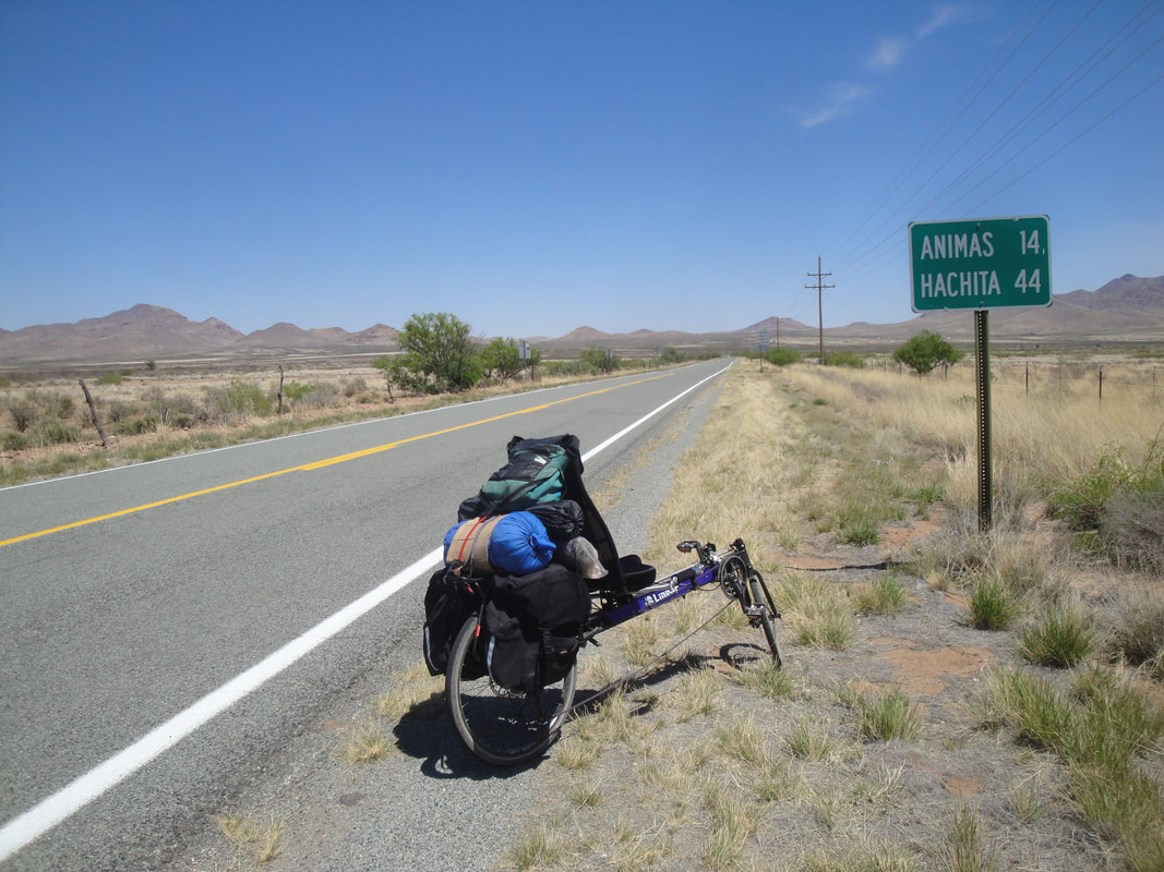
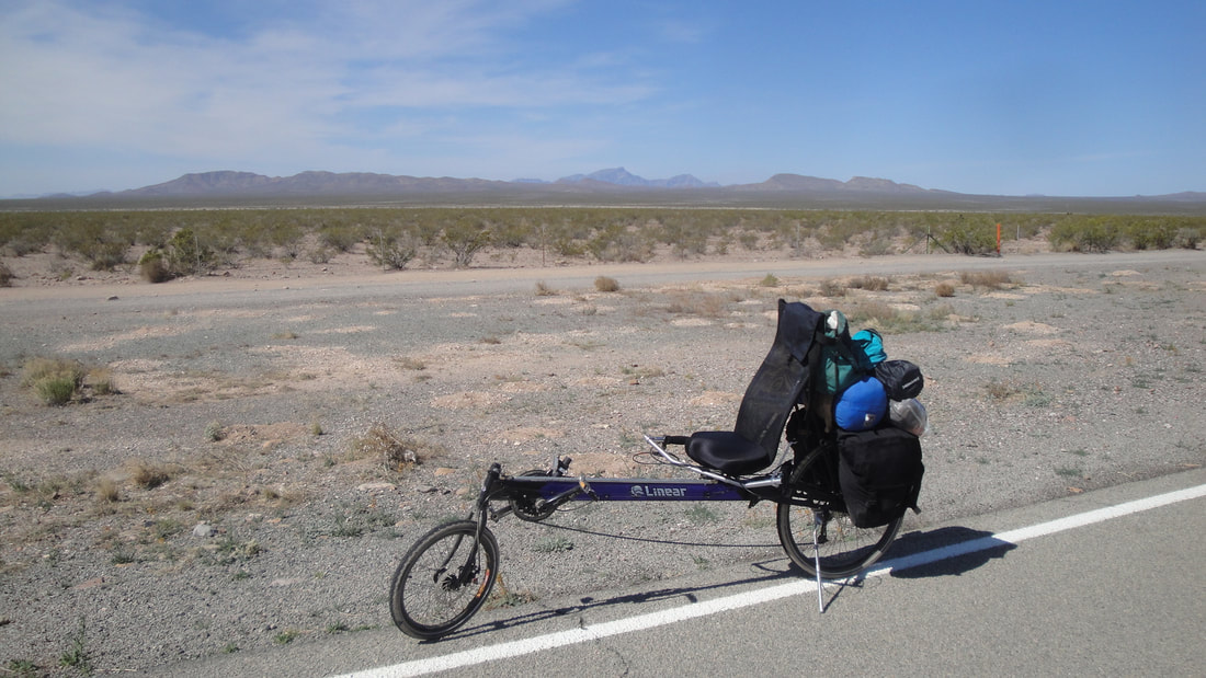
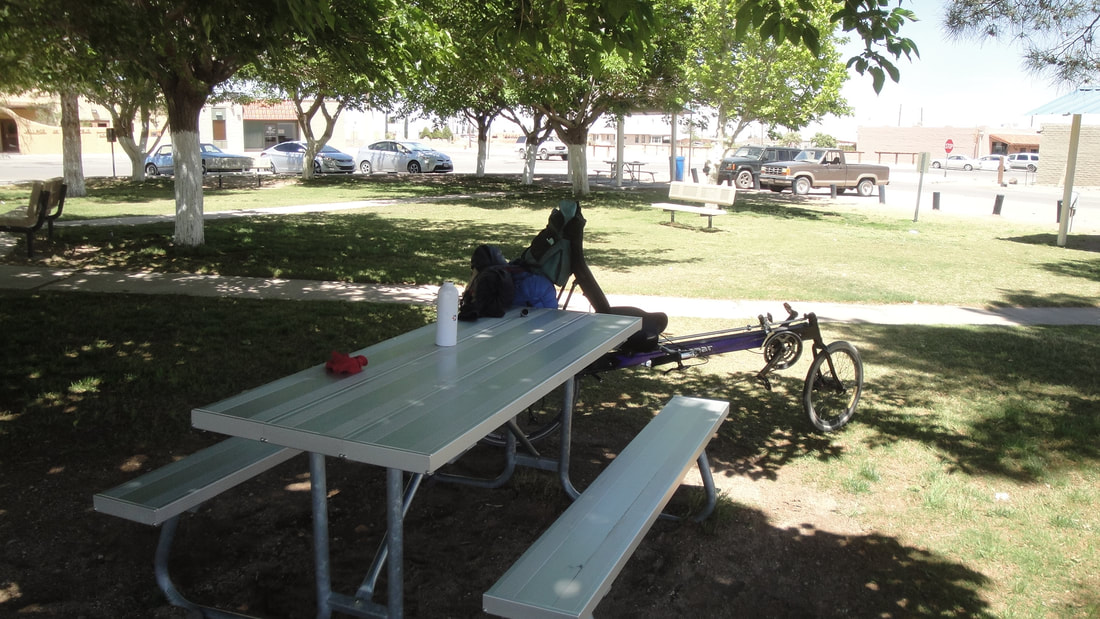
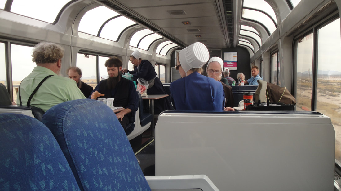
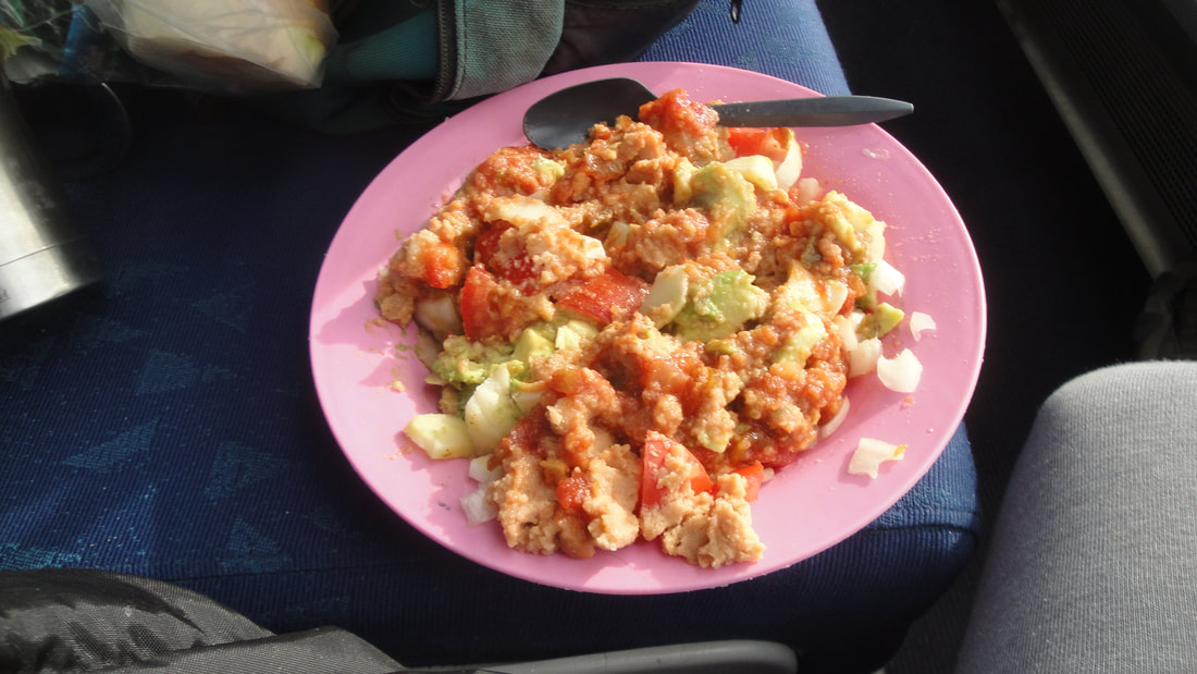
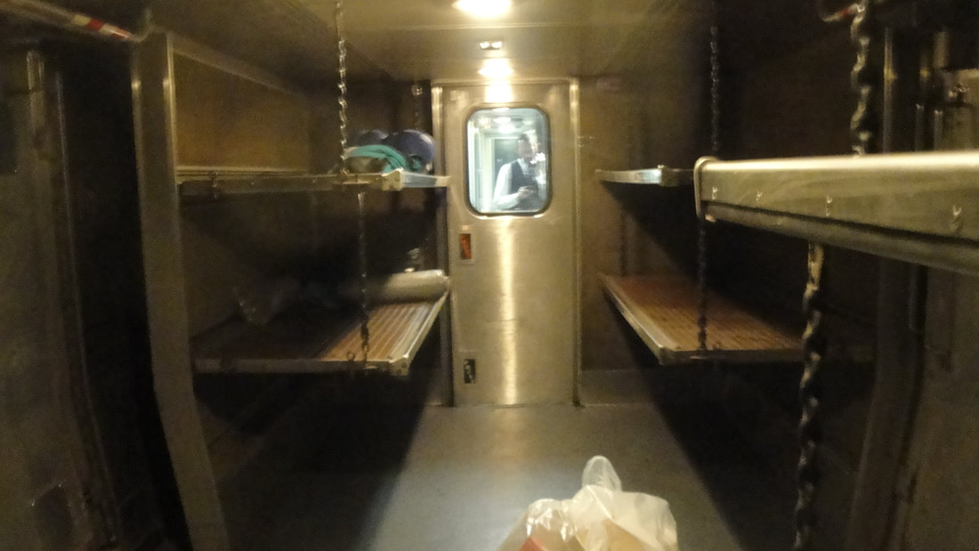
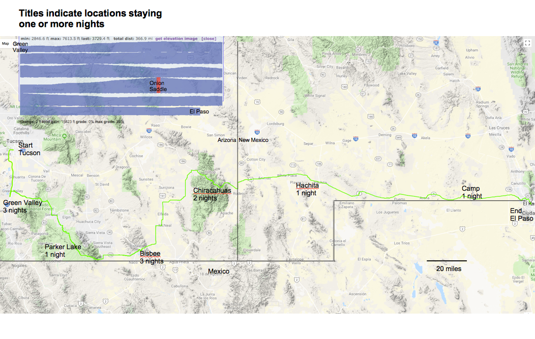
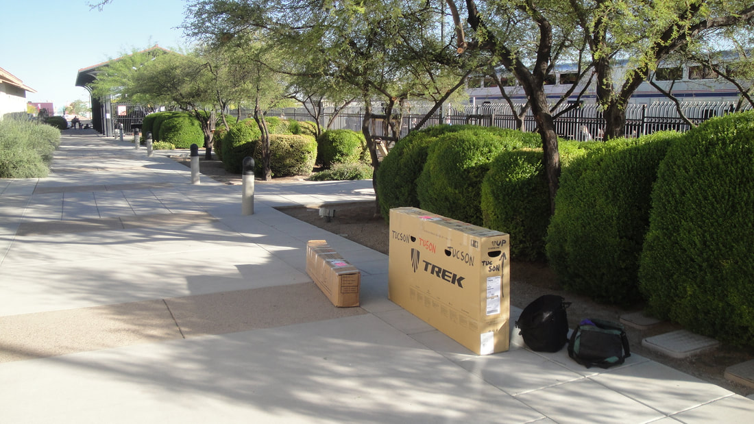
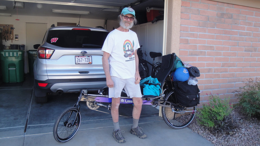
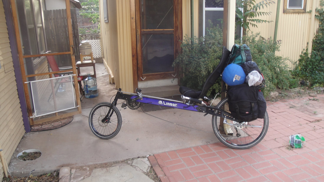
From mid to late April, I visited southeastern Arizona. It was a social trip as much as biking. I put my new foldable recumbent in a box and pal Teresa took me and the bike to the Amtrak station for the trip to Tucson. The plan was to bike from Tucson to Green Valley and stay several days with high school friend and his wife where they stay for the winter. Then bike to Bisbee, stay with permaculture advocate Meggen and make a public presentation. Then bike to the Chiracahuas which included a 3500 foot elevation gain from the lowest point in the valley between Bisbee and the Chiracahuas. 2500 of those feet would be the final 7 miles, most of it pushing the bike up a gravel/dirt road to Onion Saddle. Then down the east side of the Chiracahuas and into New Mexico and the 160 remaining miles to stay a night in El Paso and take Amtrak back to Eugene. It was a good plan and it came together nicely.
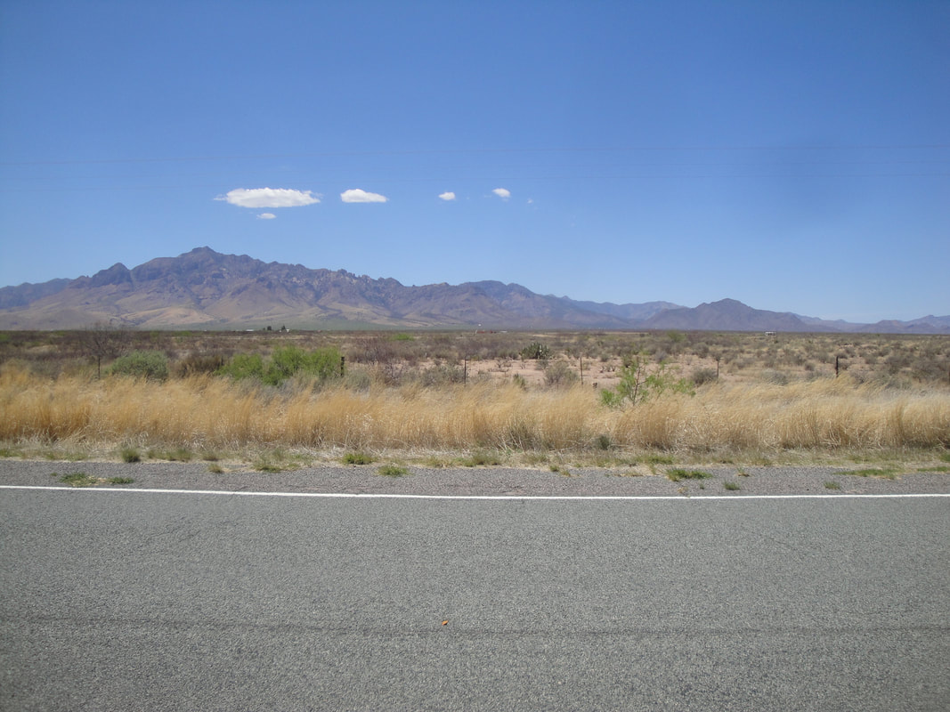
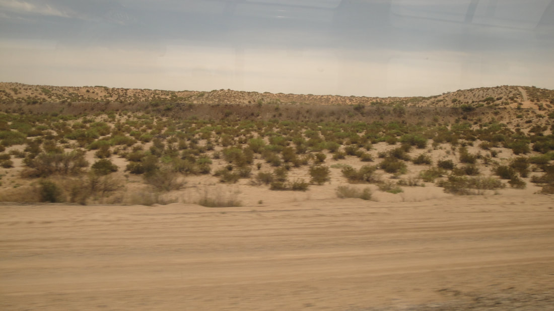
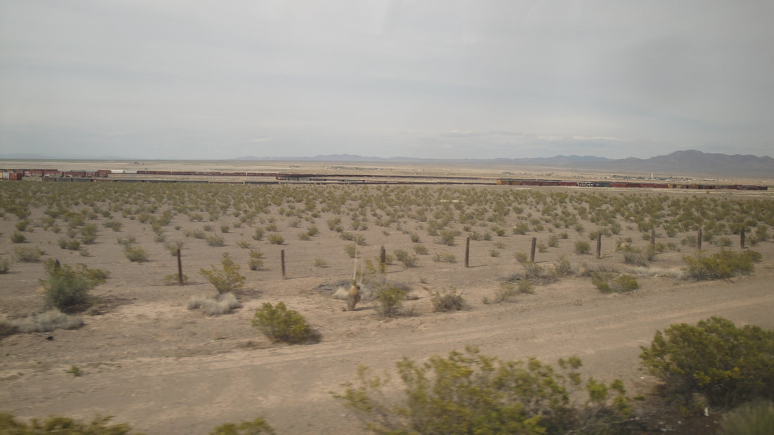
This was an awesome adventure. Some real boondock, gravel road biking along with making acquaintance for micro interviews with a lot of people along the way. I had a new bike to check out. I love the desert landscape. The idea of pedaling all day appeals to me,,, distant mountains slowly revealing more detail. Mountains visited fading in the distance and curve of the Earth. I have never burned so many calories in my life!
Pictures below include captions that tell more about what happened. Clik on the foto for a larger image and caption. I will segment the fotos and narration based on where I was to stay the night. Each section has its own more detailed map and overview.
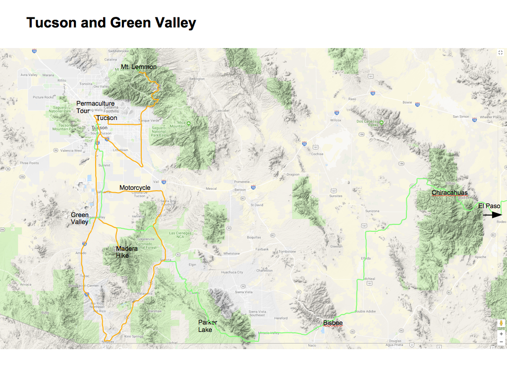
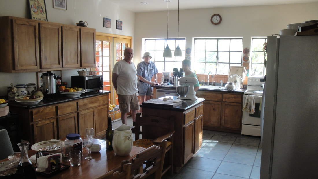
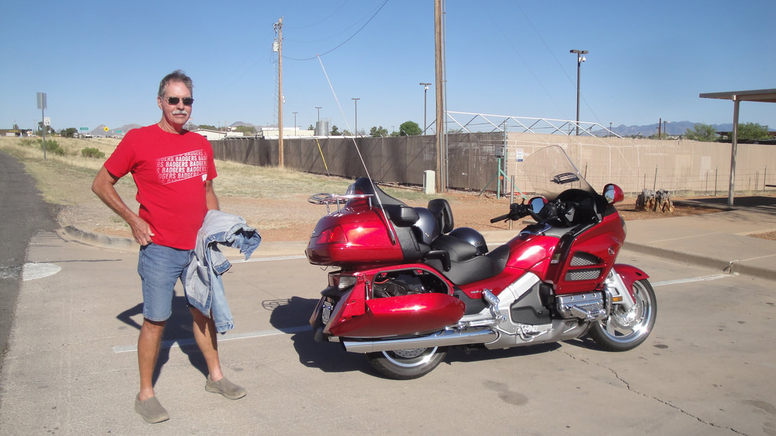
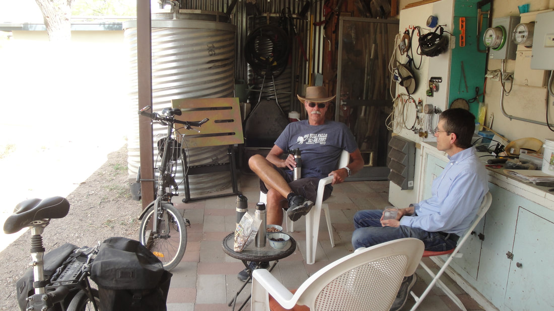
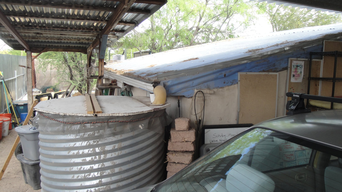
Two nights on the train did not dampen enthusiasm upon arrival in Tucson. I was eager to unpack the bike, put it together and ride the 30 miles to Green Valley. I would be staying with high school pal, Les and his wife, Jennifer. Les and I had e mailed for several years but this would be the first face to face meeting in 45 years. We had a great time hiking, riding his motorcycle, talking politics and culture. Green Valley is a snow bird enclave south of Tucson. Extensive suburban subdivisions, all very tidy and maintained. Its a desert landscape. Tall palms, golf courses, amenities for the retired. To the east is beautiful Madera Canyon, upslope to the west is a huge multi mile long retaining dam for a copper mining settling pond. L incense plates from all over. Les and Jennifer are from Wisconsin. We were pals in the north central Texas town of Denison.


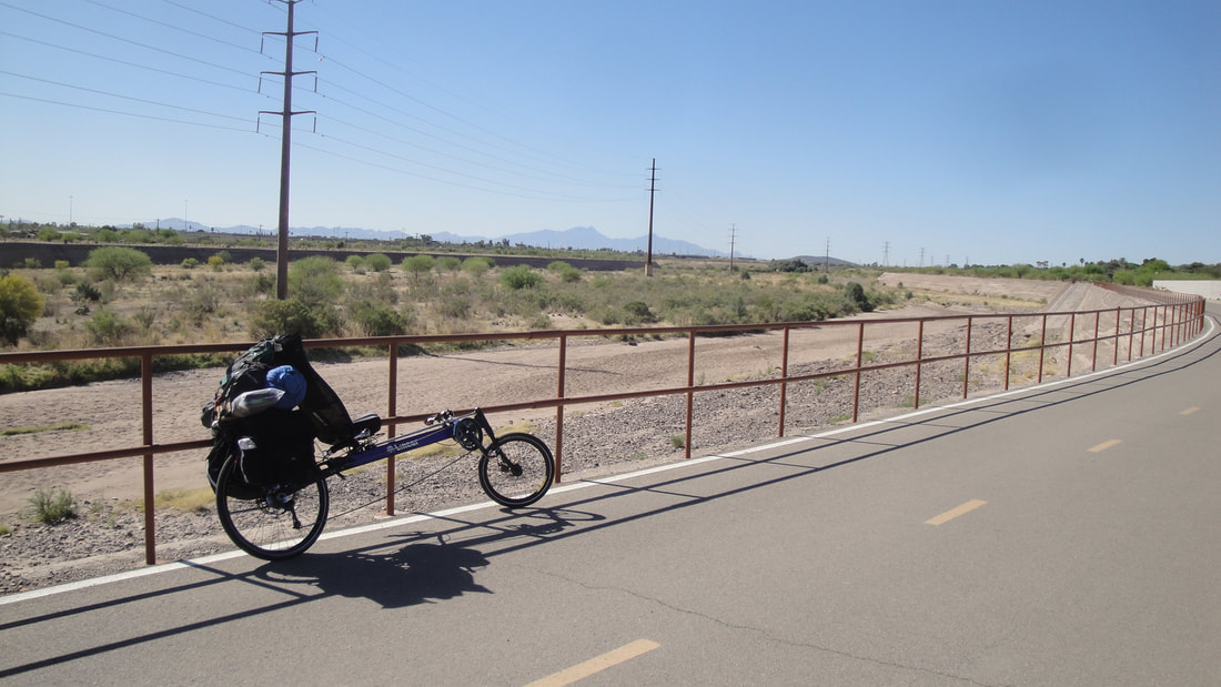
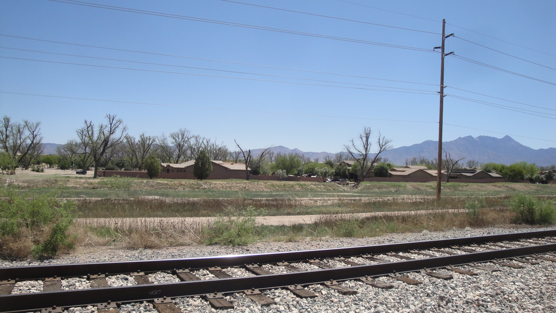

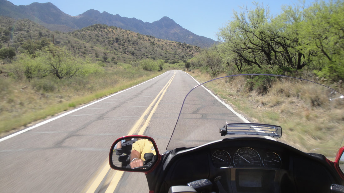

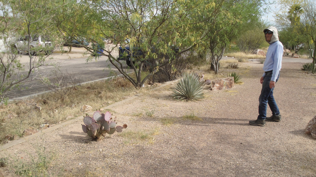
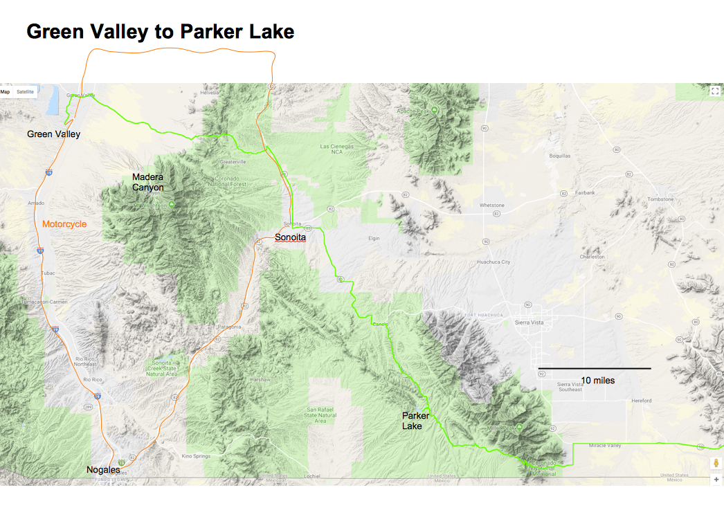
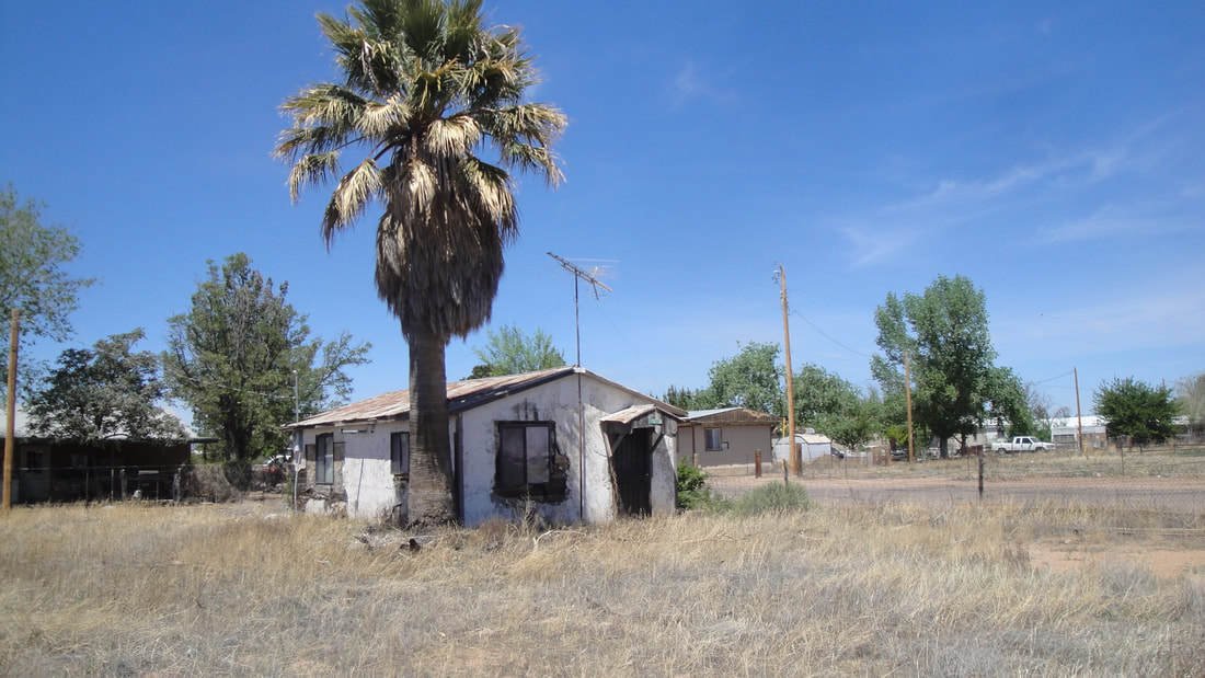
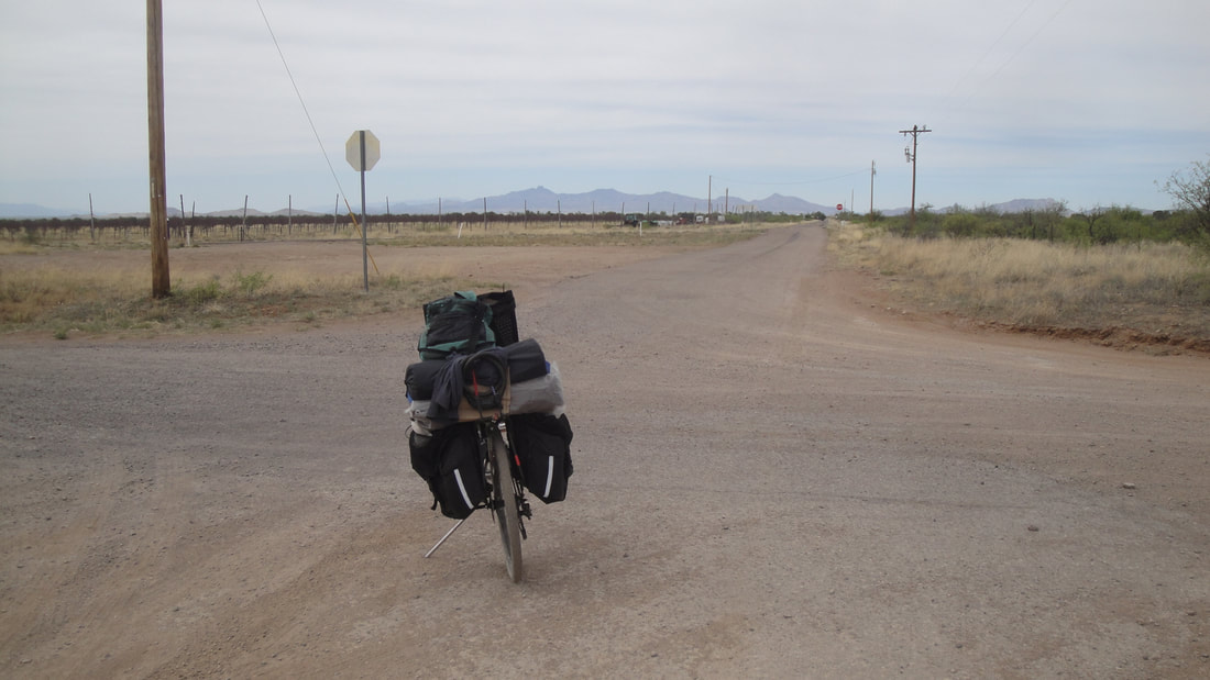
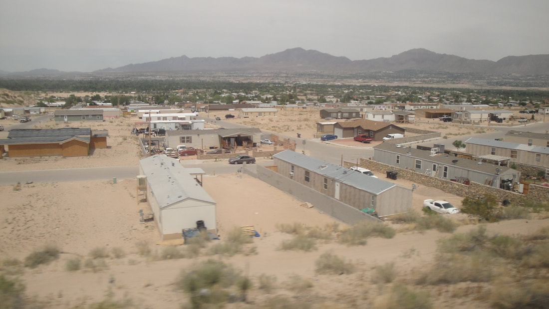
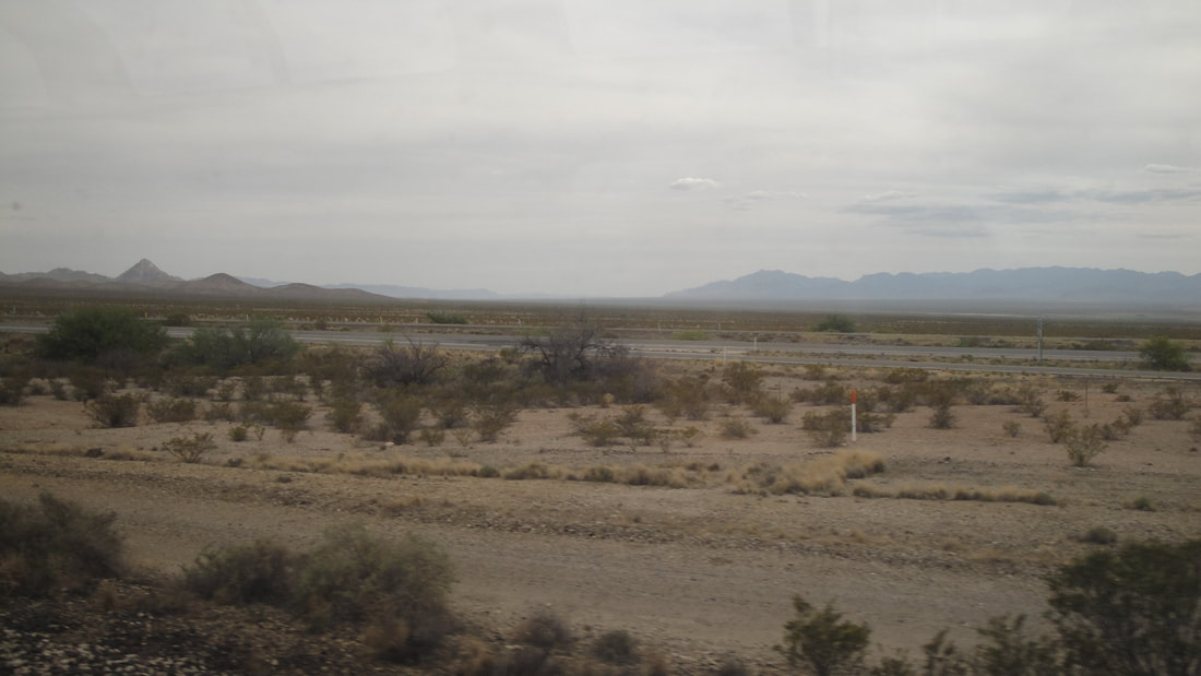
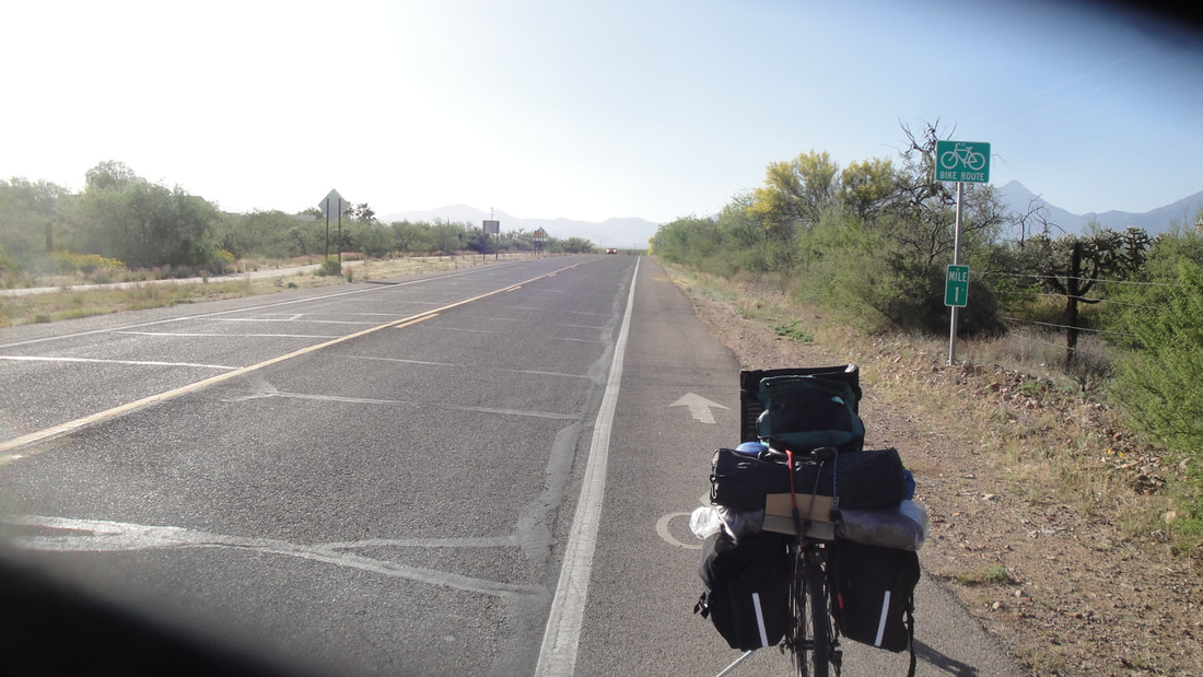
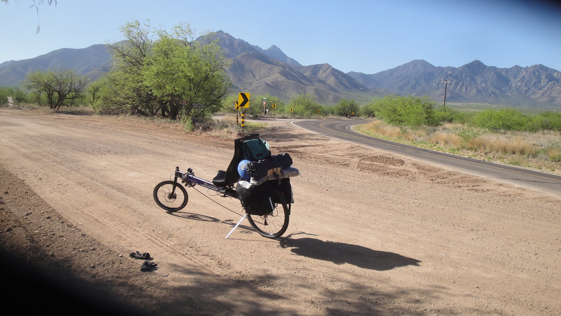
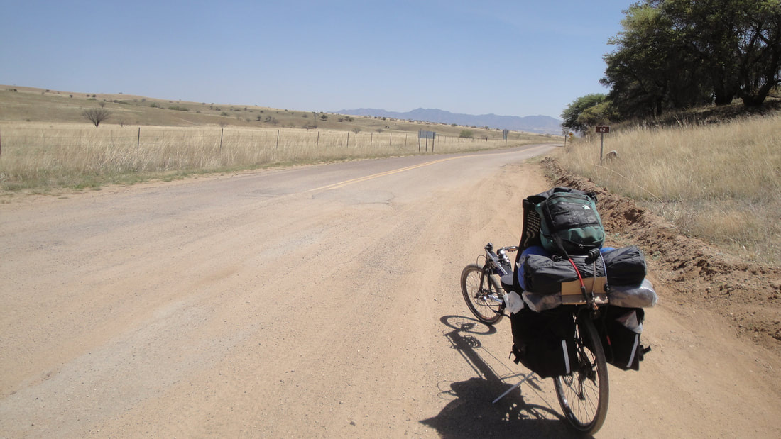
Green Valley is near the bottom of the valley. My route would take me immediately up slope passing by Madera Canyon, about a 1500 foot climb over ten or so miles. Even 1500 feet translates into a slightly less austere landscape. There is a dry forest that starts to appear at about 5000 feet above sea level. Green Valley is about 2800 feet above sea level. It was exciting to leave the paved road and head into Coronado National Forest. Again, note, the forest is dry and much of the time, in name only. Temps would rise into the low 80's this day. A nice westsouthwest wind was with me going up slope but became a partial head wind when I made the turn south towards Sonoita.
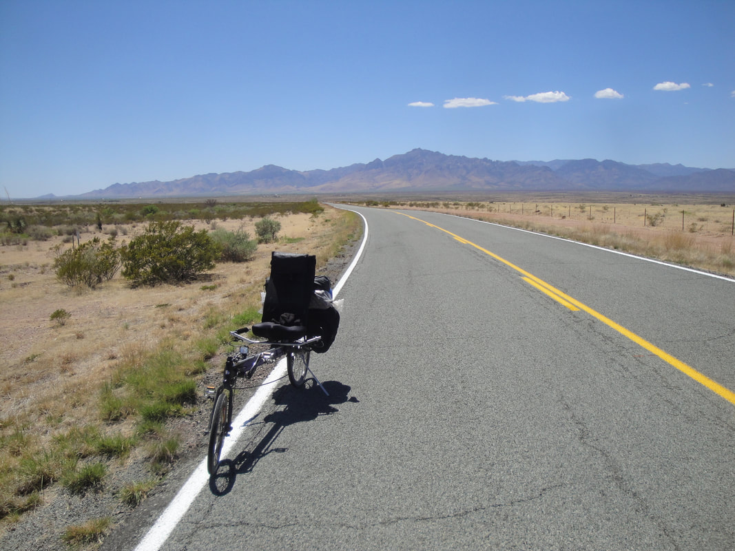
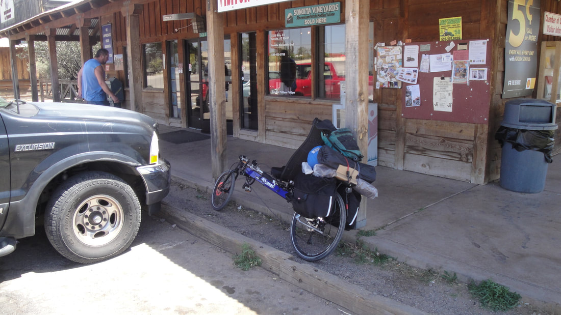
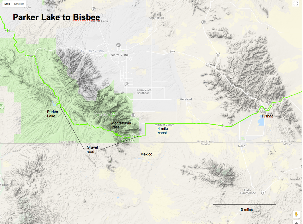
My original plan was to bike through Fort Huachuca to Sierra Vista. I was told in Sonoita you could not pass through the military base and was advised to go south to Parker Lake. This change of plans would add about 25 miles to the day's distance but reduce the next day's distance by about 20 miles. The new route would also put me on gravel for about 15 miles more but would also have less human clutter. I did make it Parker Lake pretty much exhausted but a quick sunset dip in the chilly lake with a chilly breeze was great.
My original plan was to bike through Fort Huachuca to Sierra Vista. I was told in Sonoita you could not pass through the military base and was advised to go south to Parker Lake. This change of plans would add about 25 miles to the day's distance but reduce the next day's distance by about 20 miles. The new route would also put me on gravel for about 15 miles more but would also have less human clutter. I did make it Parker Lake pretty much exhausted but a quick sunset dip in the chilly lake with a chilly breeze was great.
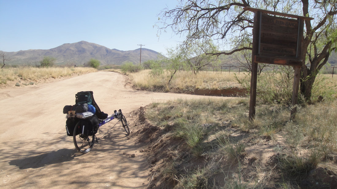
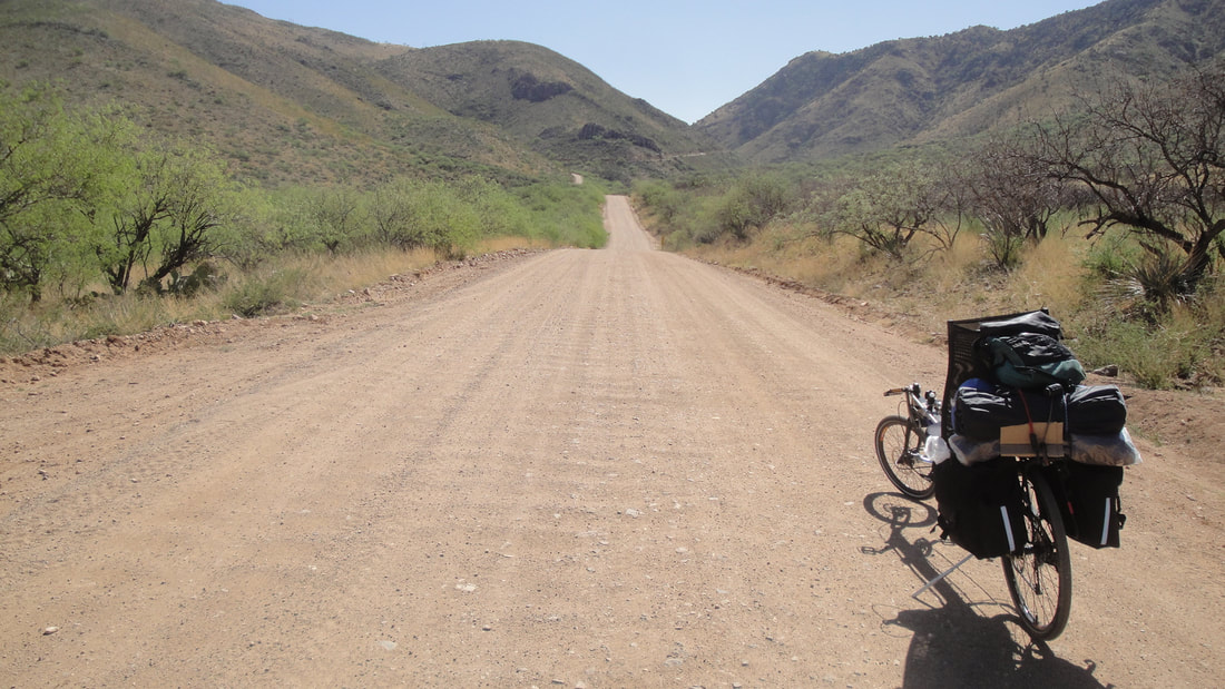

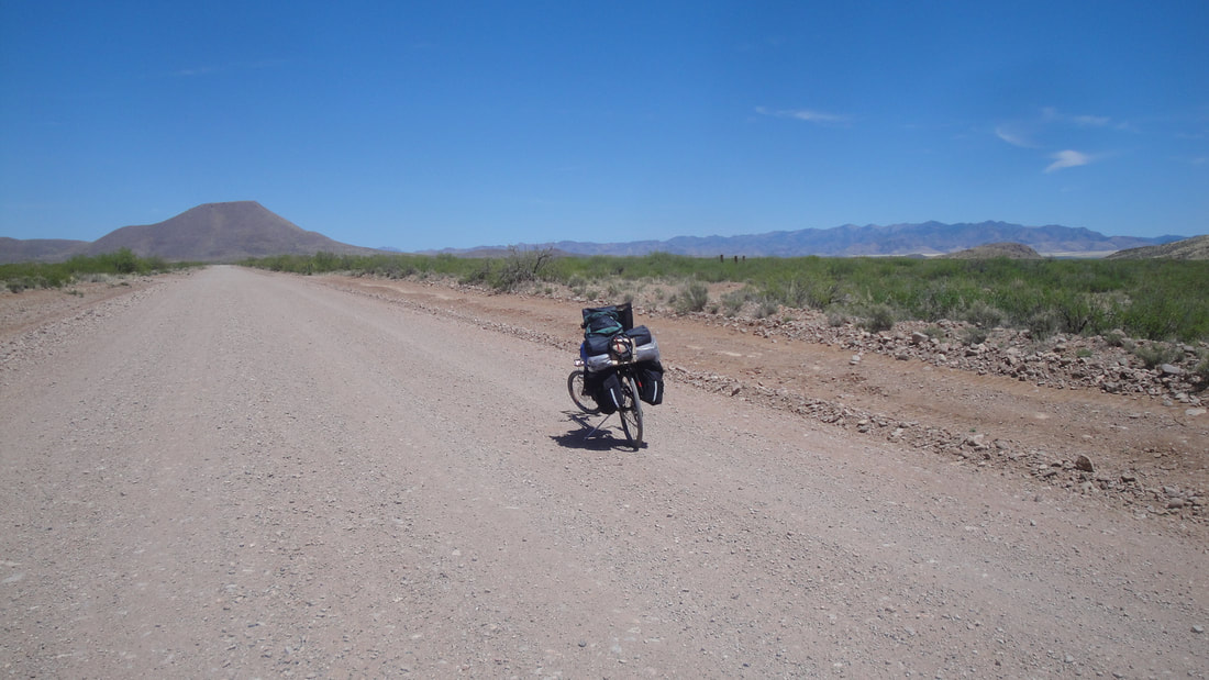
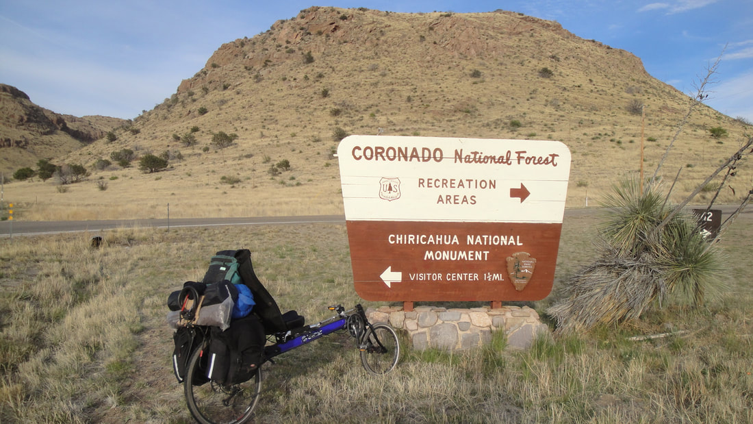
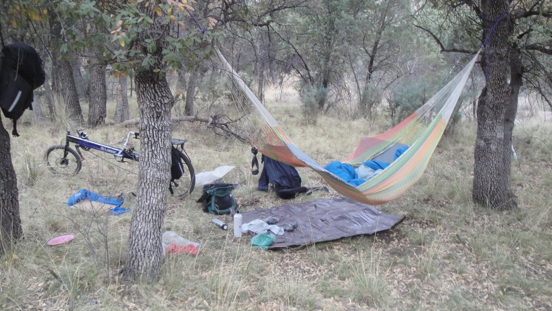
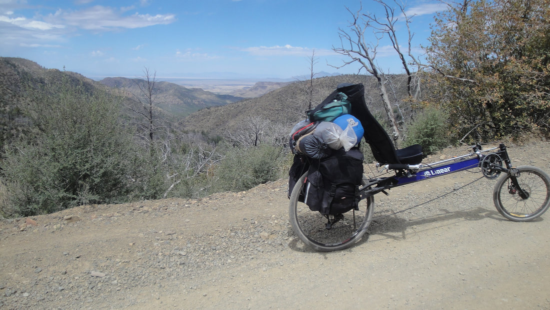
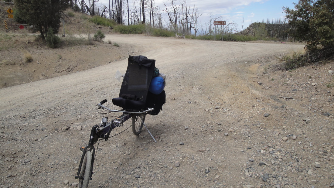
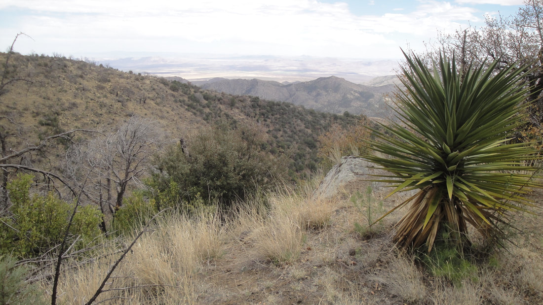
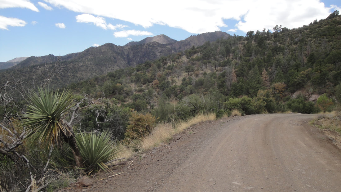
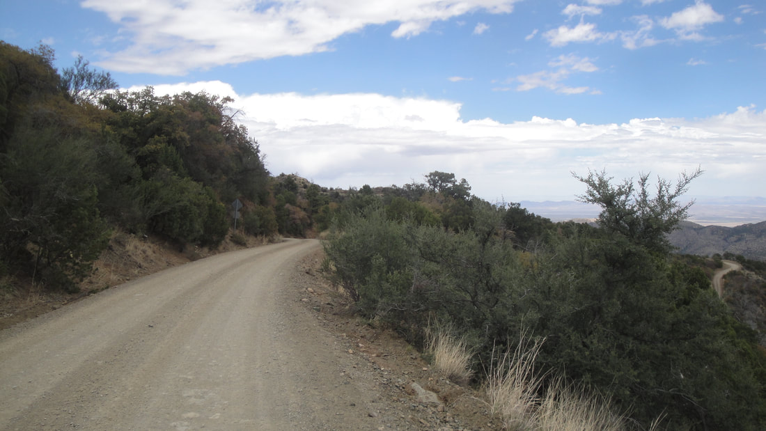
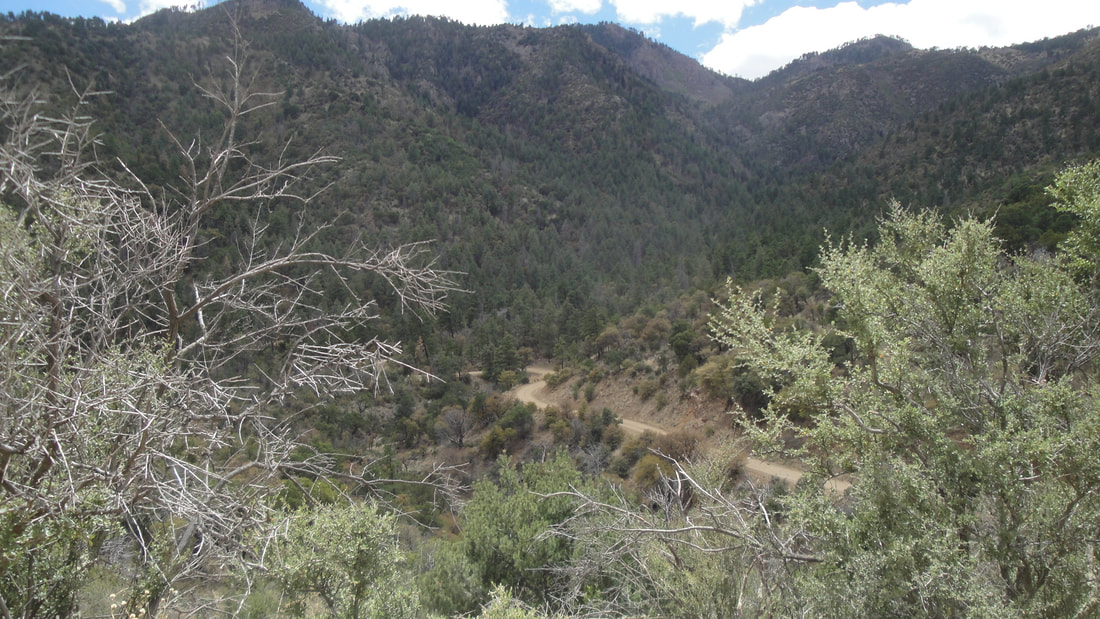
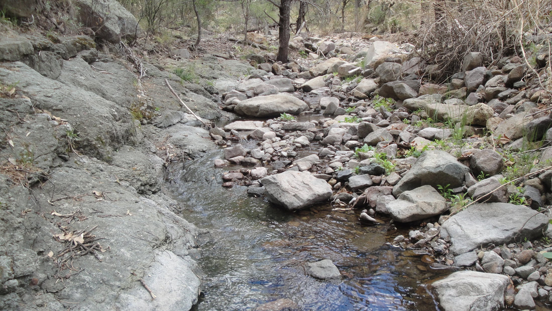
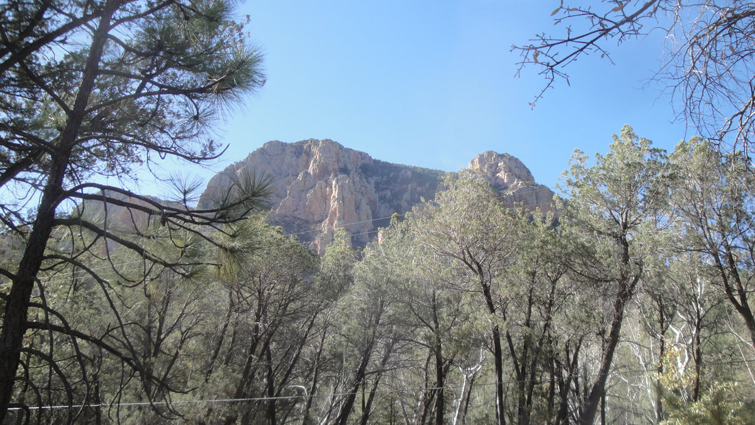
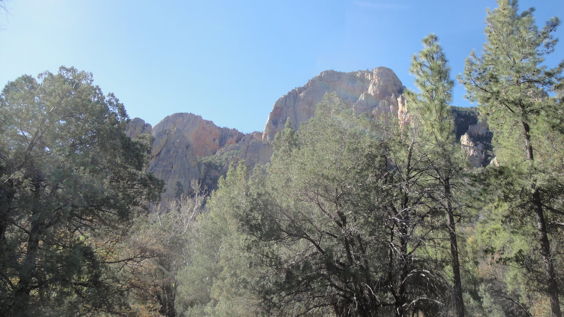
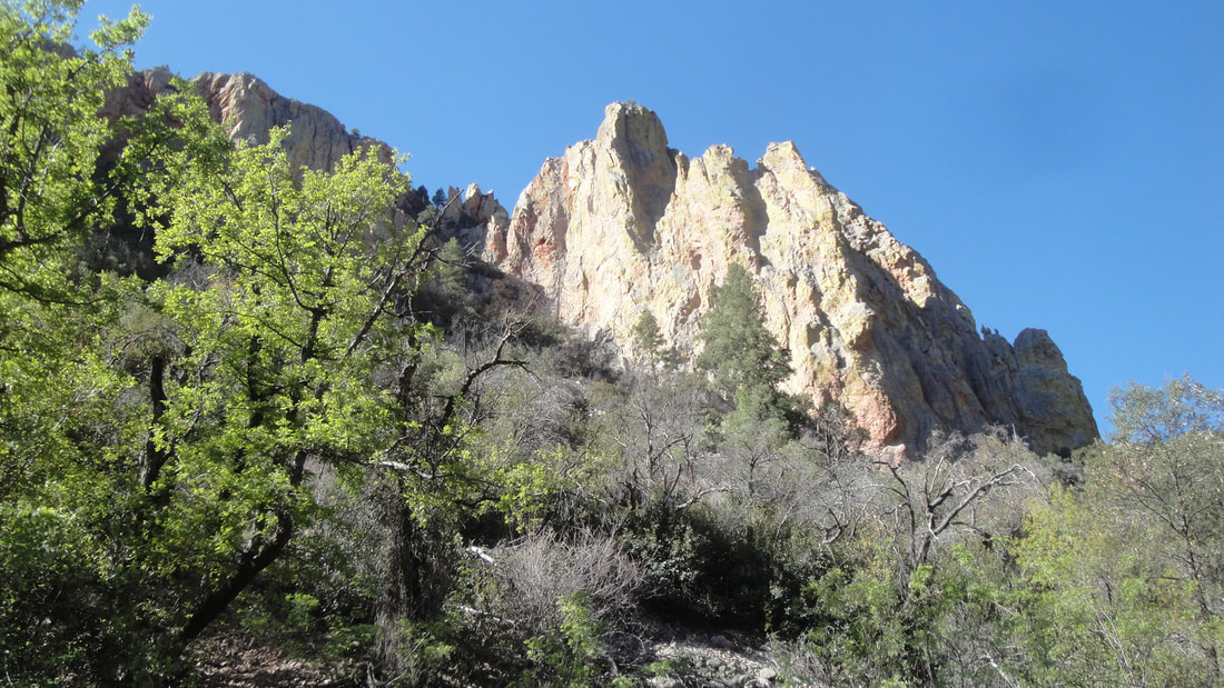
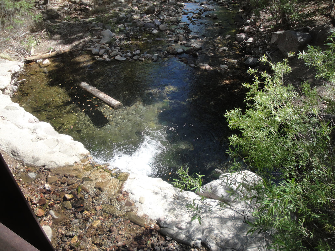
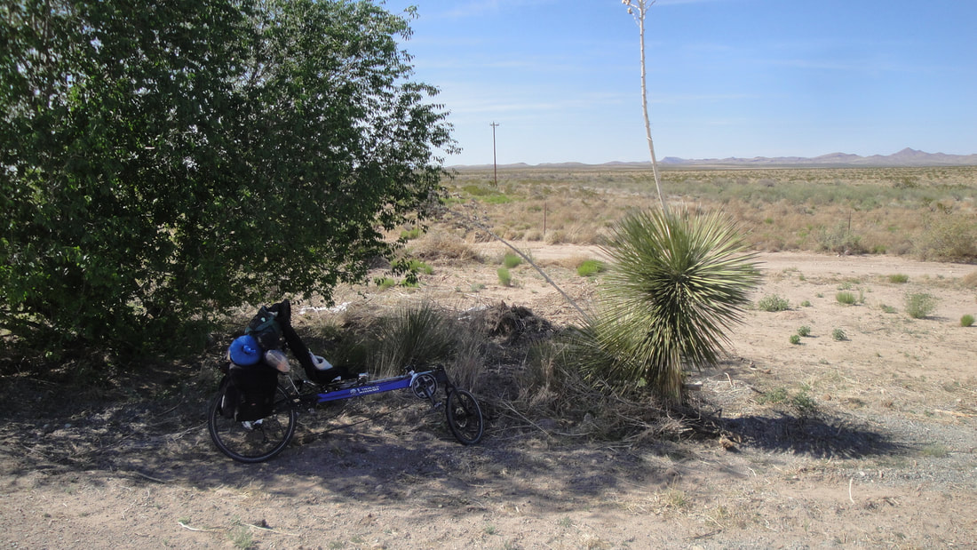
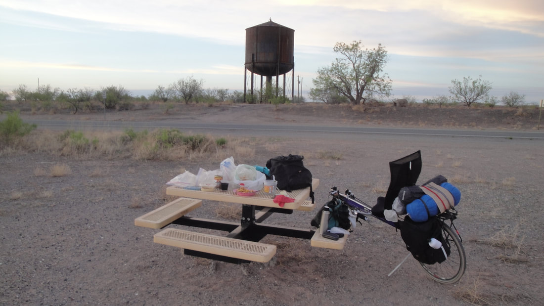
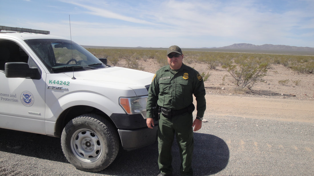
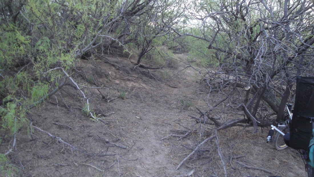
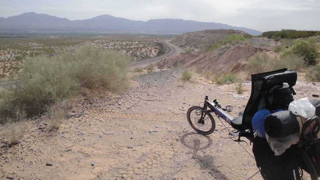
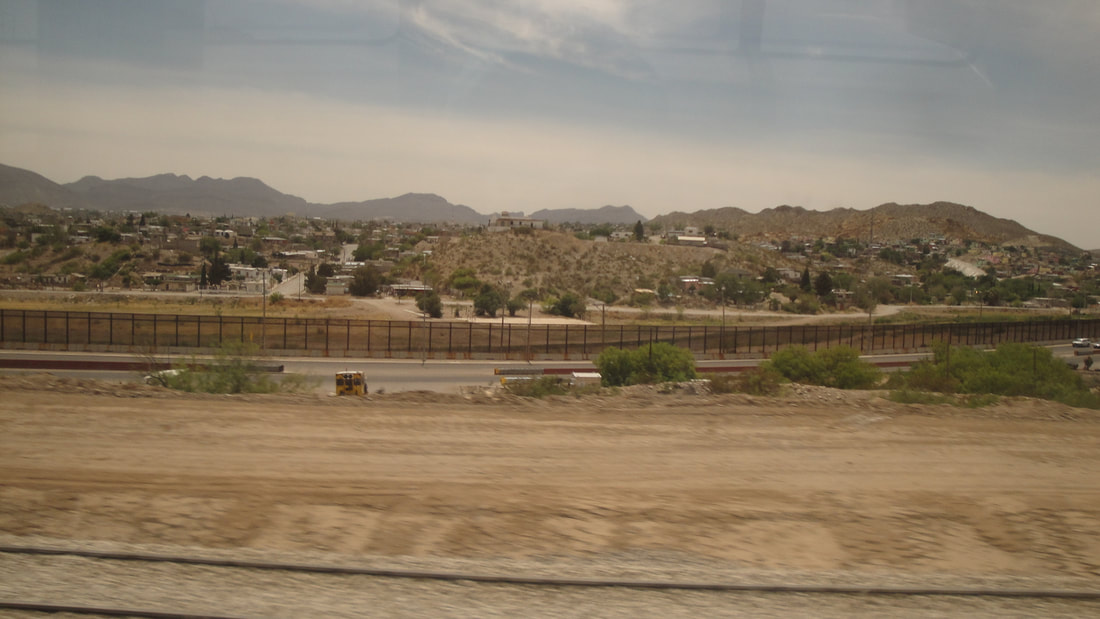
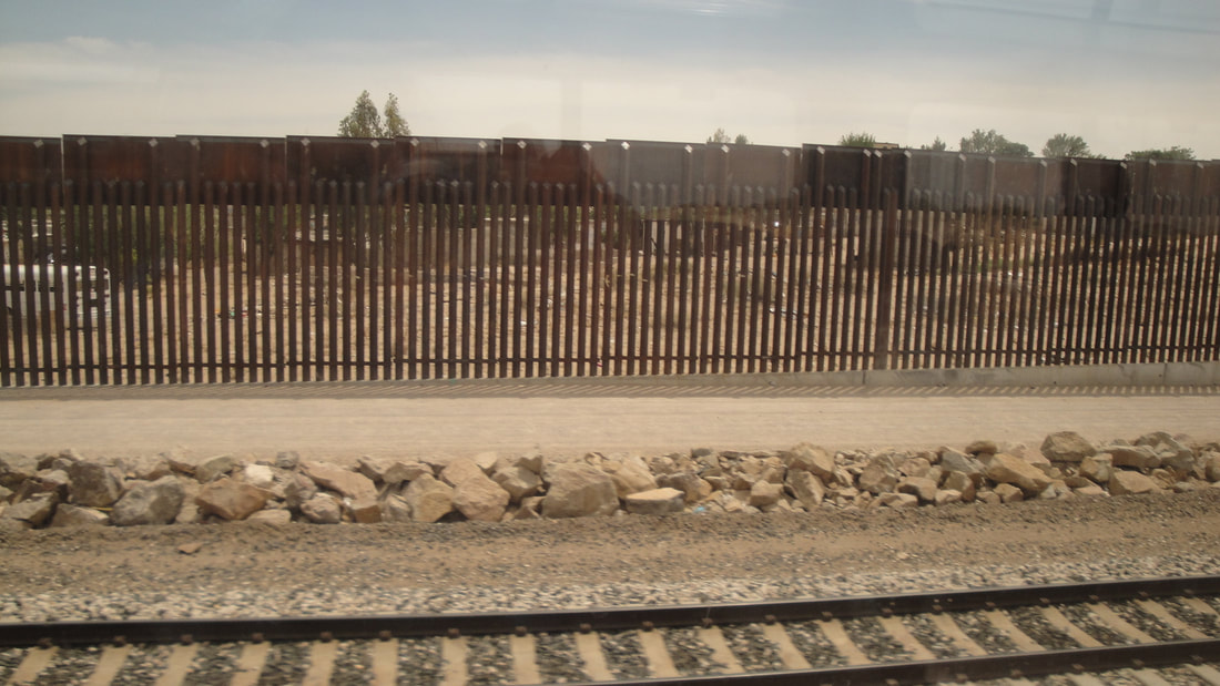
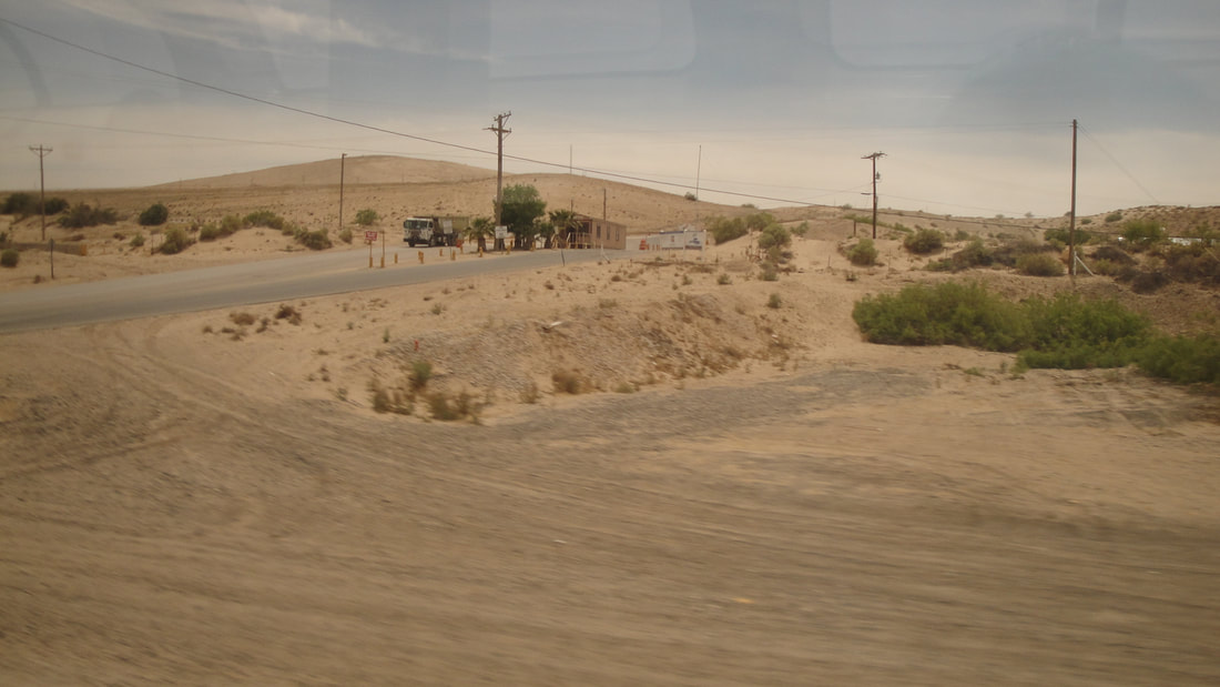
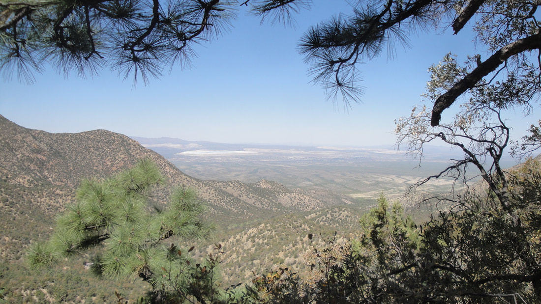
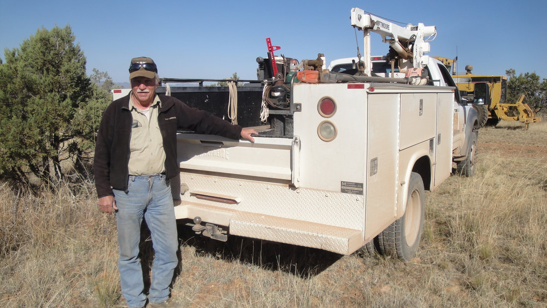
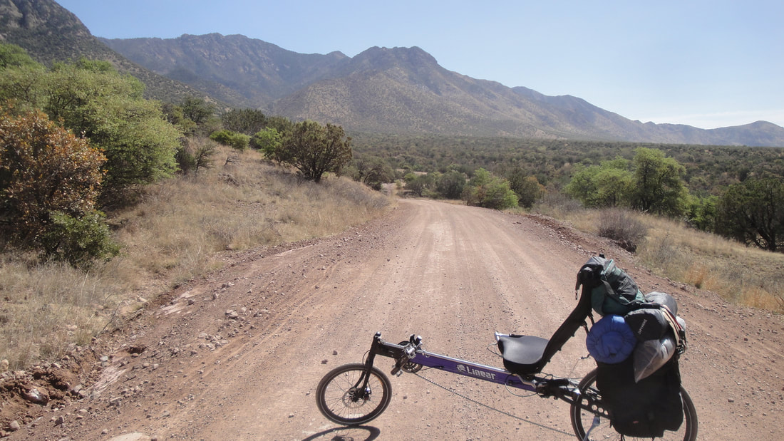
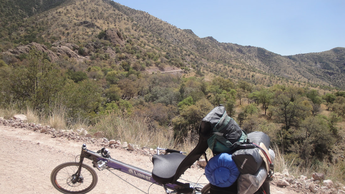
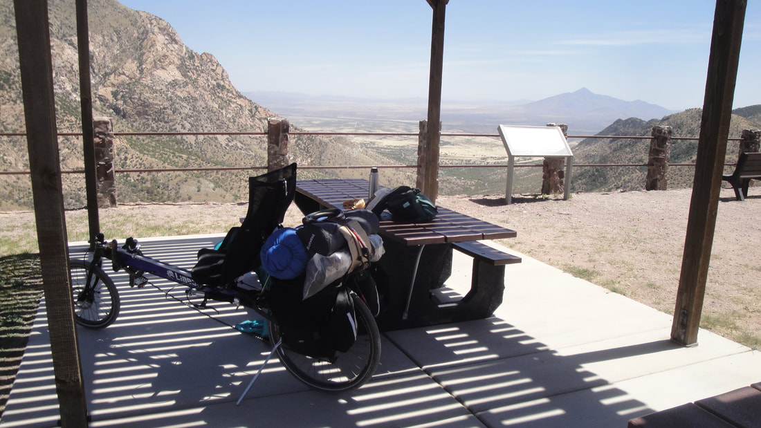
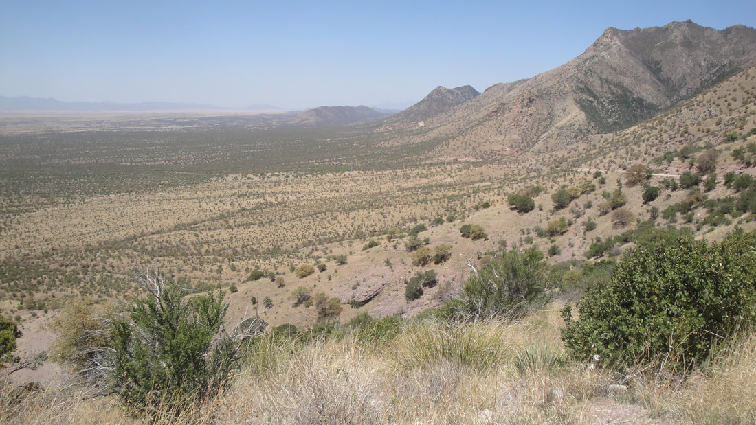
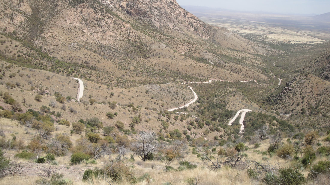
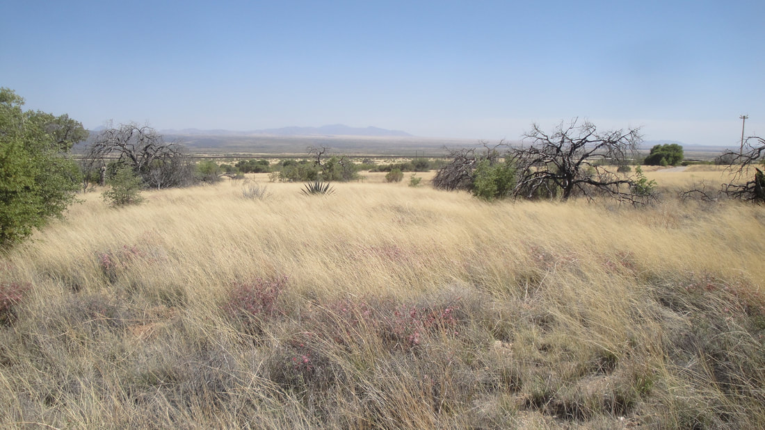
Great night in the hammock. Lots of song birds in the morning. Eager to start the ride to Bisbee but concerned that I did not have enough water. I flagged a forest service truck and the very nice guy took me to a campground with water where I could fill my 3 quart bottles. Then he took me and my bike about 5 miles to where he was doing grader work. From there, it was a beautiful if challenging ride on gravel moving towards a Montezuma Pass of unknown description. Loved this landscape, only a few miles from the Mexican border. There were border patrol trucks going by every half hour or so but few other vehicles.
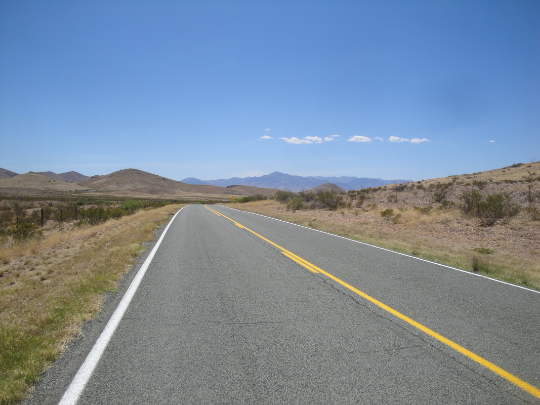
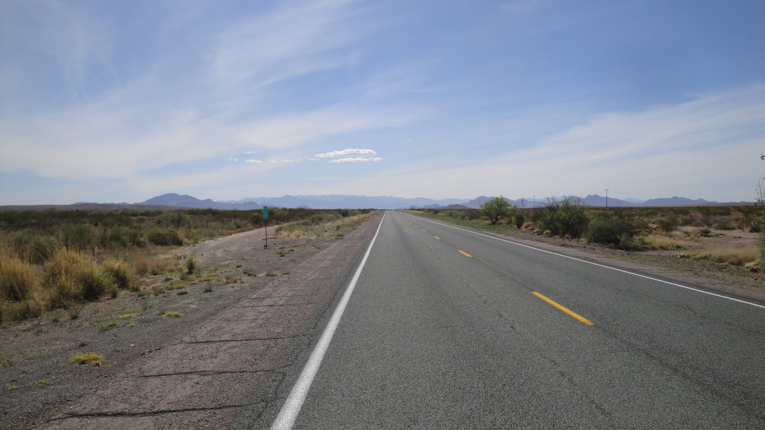
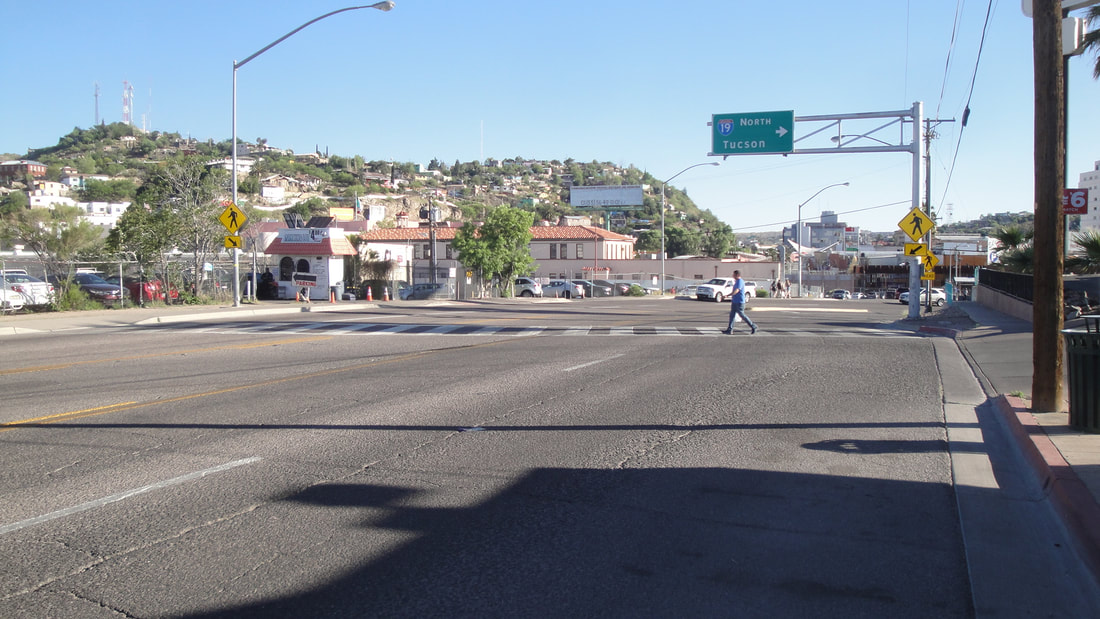
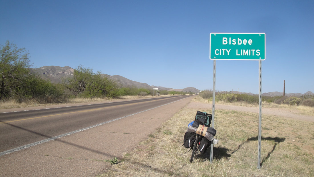
I would pass through Coronado National Monument. Spanish explorer Coronado passed through this area. I would come down Montezuma Pass to pavement, make a couple turns and be on a highway headed straight to Bisbee.
I would pass through Coronado National Monument. Spanish explorer Coronado passed through this area. I would come down Montezuma Pass to pavement, make a couple turns and be on a highway headed straight to Bisbee.


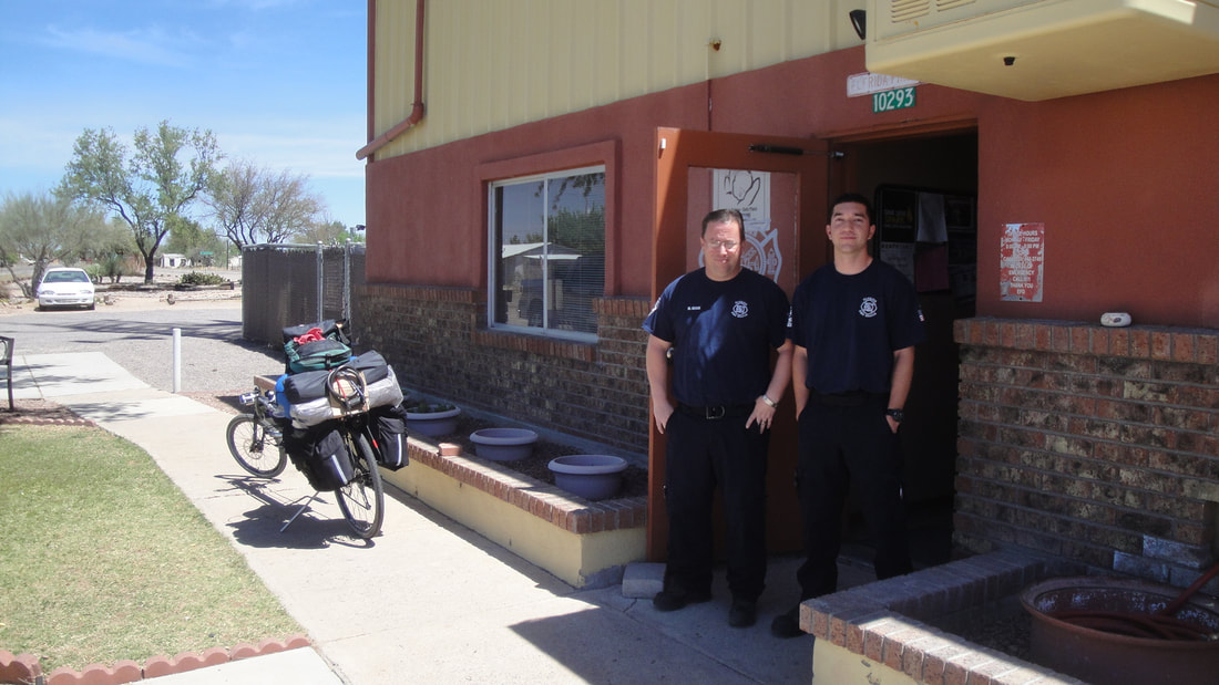
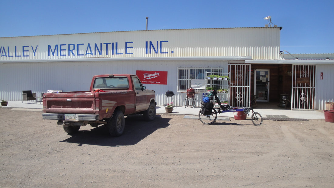
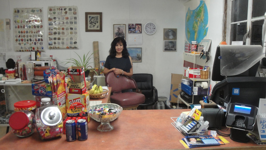
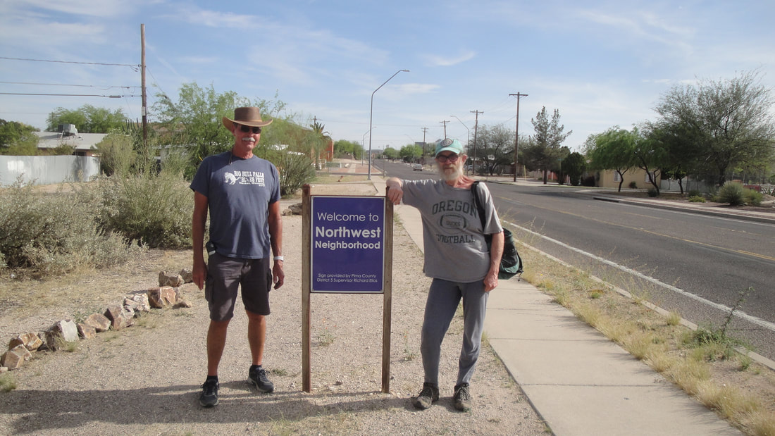
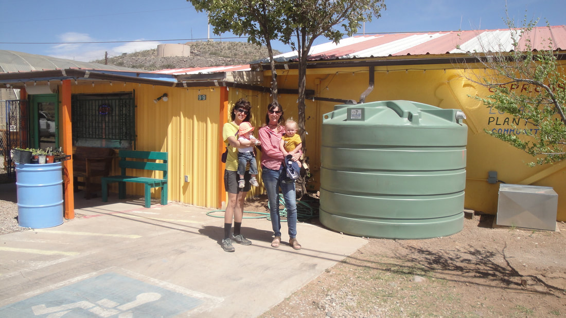
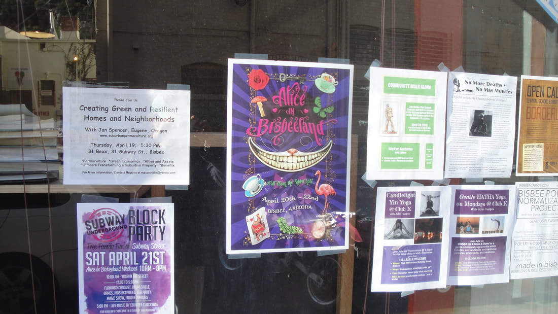
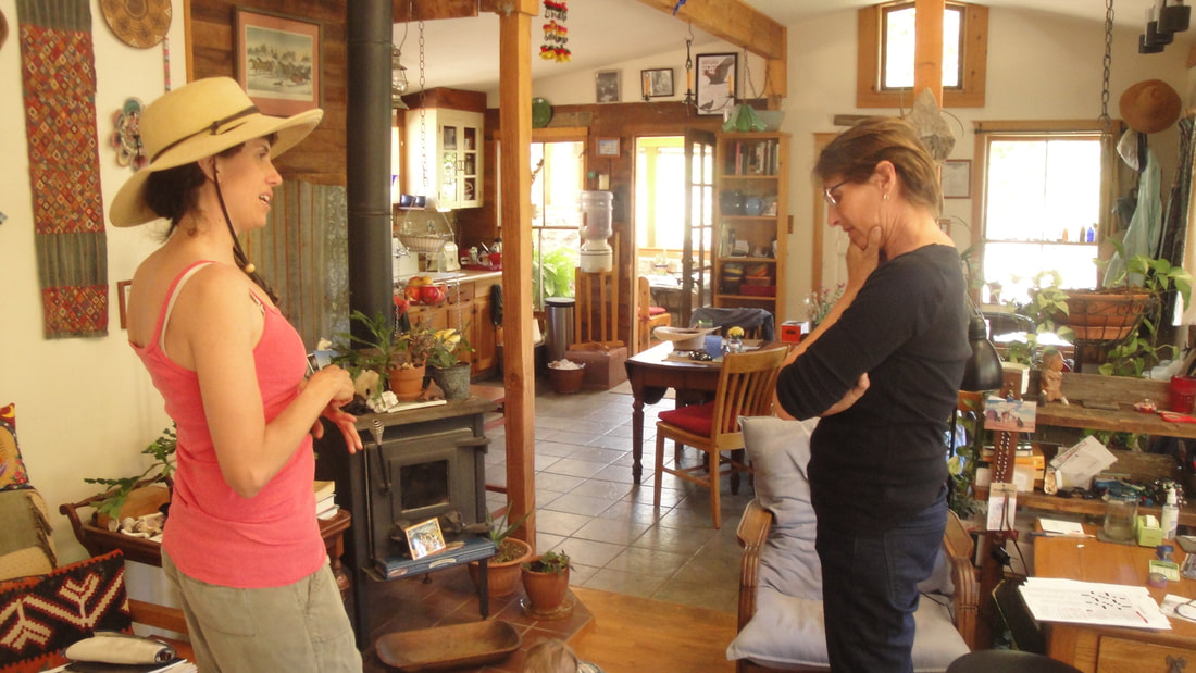
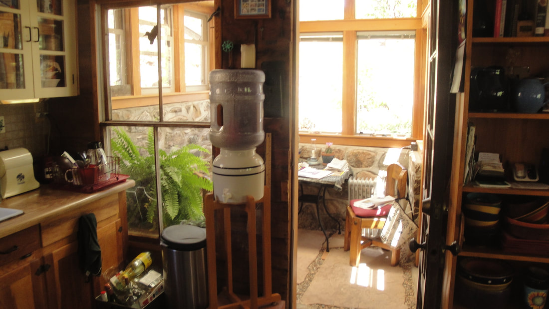
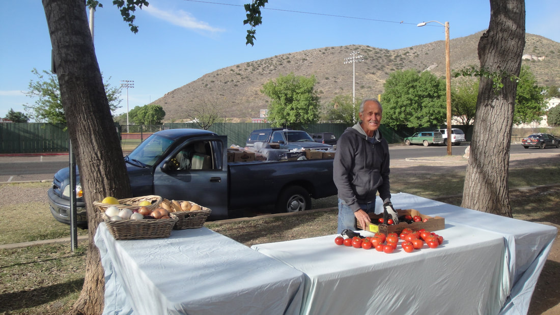
Into Bisbee. I had connected with Meggen by way of the internet. She has an impresive permaculture resume including a stay in Morocco and several sites in the US although she is from Bisbee. Meggen is a wife and mom. She made arrangements for the presentation I would make. Her husband Eric mentors teachers and continues long distance running. Daughter Larrea, is just walking and likes to look at only the first two pages of one of her books before wanting to look at another one.
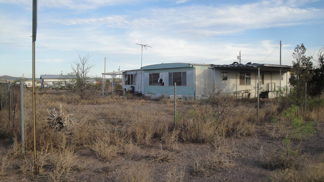
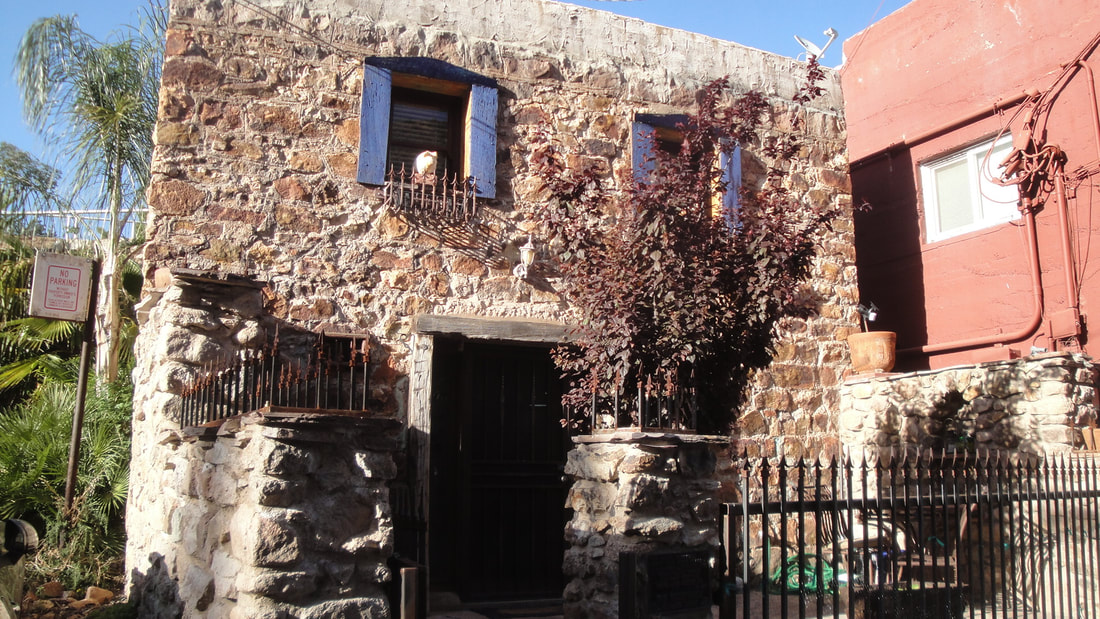
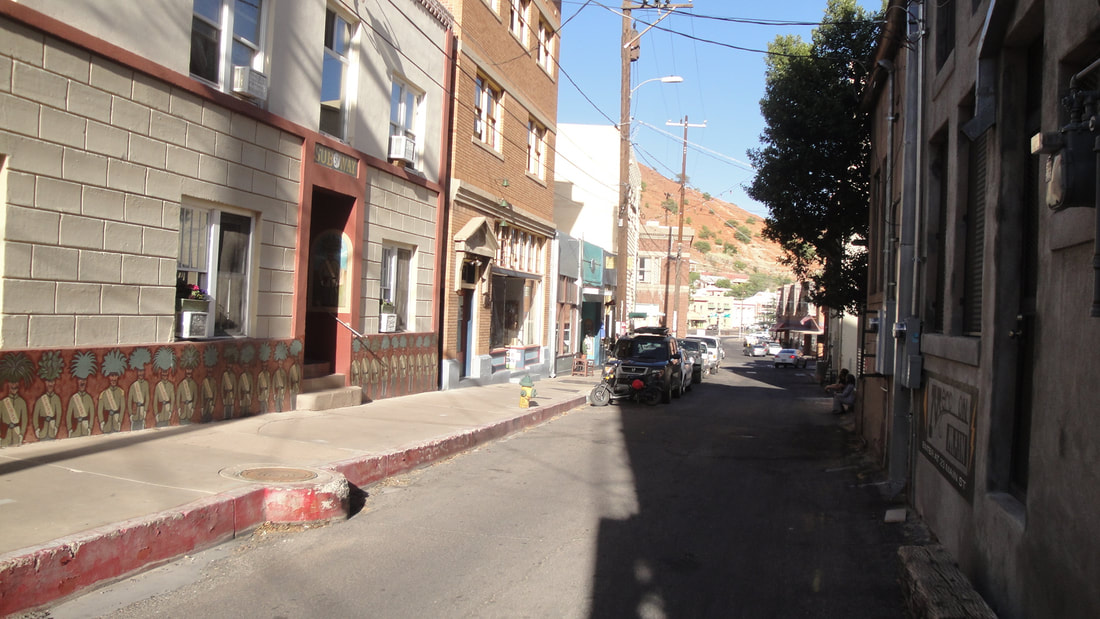
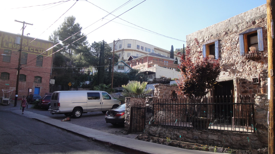
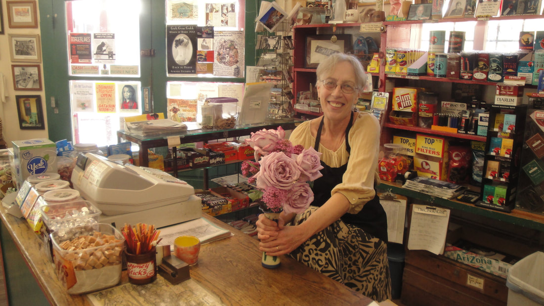
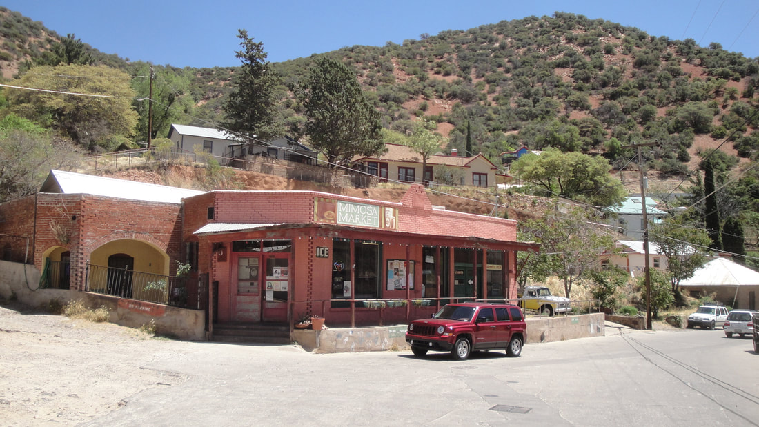
Bisbee is a very colorful town. It was a copper boomtown with miners shacks climbing the hillsides above the narrow downtown. Underground mines played out in the 50's with and the population crashed. Open pit mining extended the mining industry into the mid 70's but the mines closed for good again, with a significant contraction from its peak population of about 9000.
Real estate prices sank and Bisbee was discovered by artistic types and hippies in the 60's and 70's and continues to be known as a funky, counter culture community. The 70's and 80's saw significant rebuilding and rebranding of Bisbee as an historical remnant of the rough and tumble old west with John Wayne investing in historic renovation. Because Bisbee came of age pre automobile and is confined by its geography, its downtown is very pedestrian friendly with narrow winding streets with shops, galleries and restaurants. Its steep residential terrain is a distant relative to Italian hill towns. A very unique place.
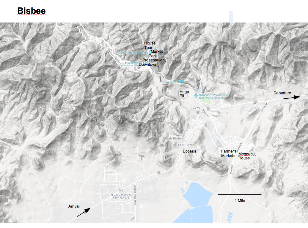


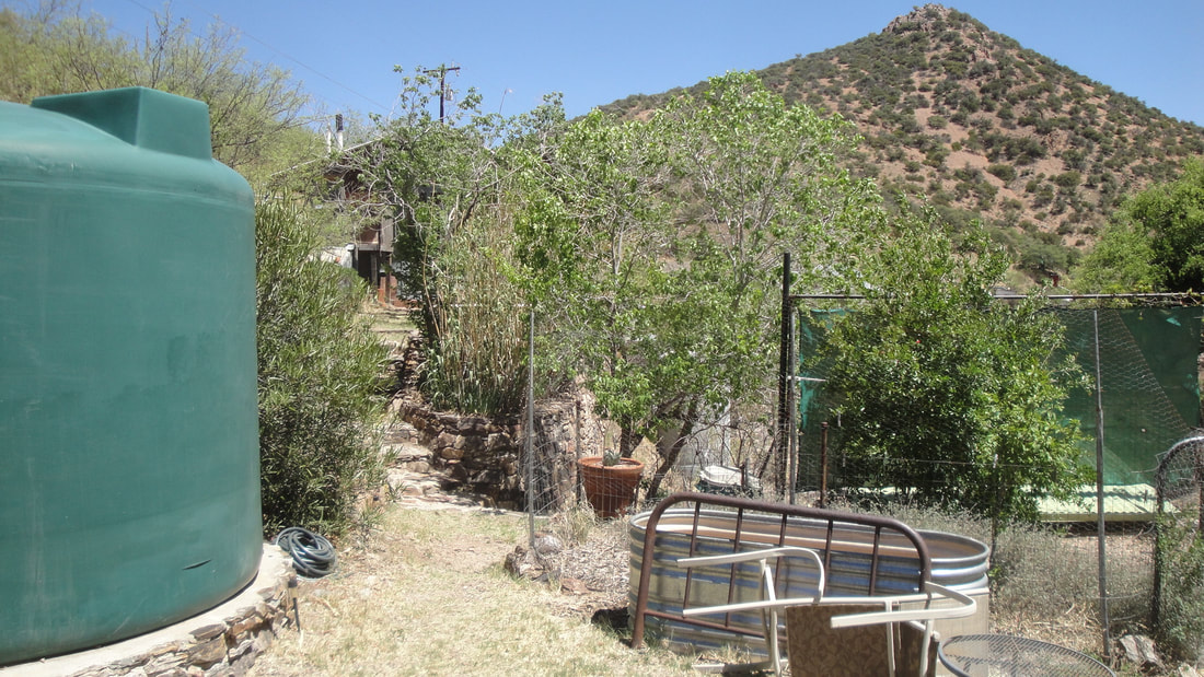

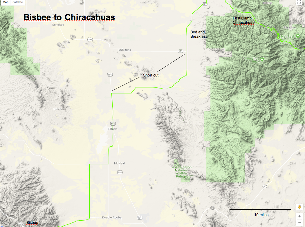
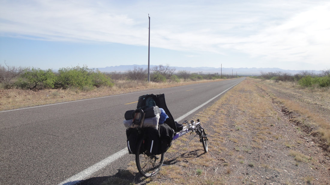
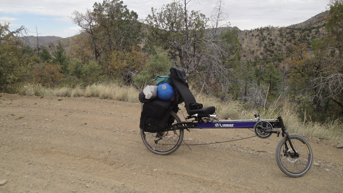
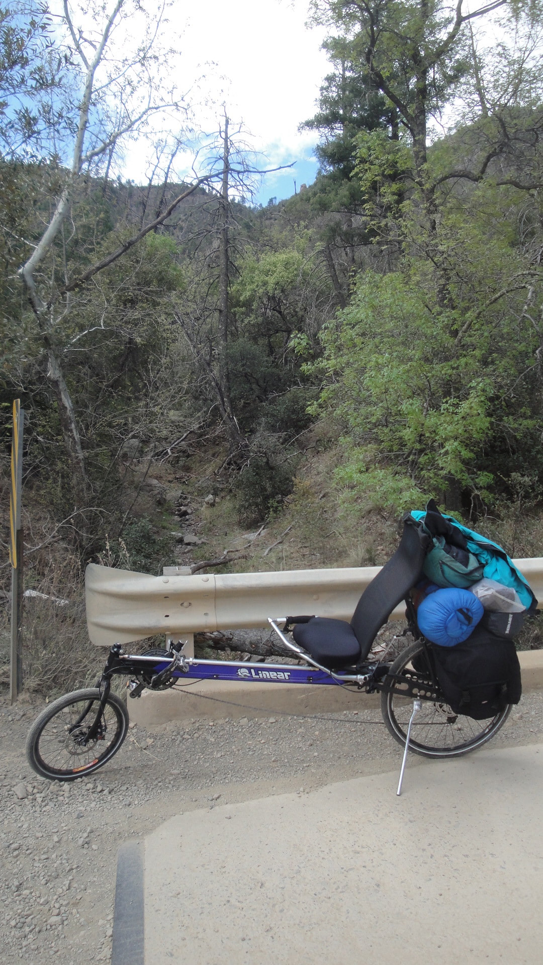
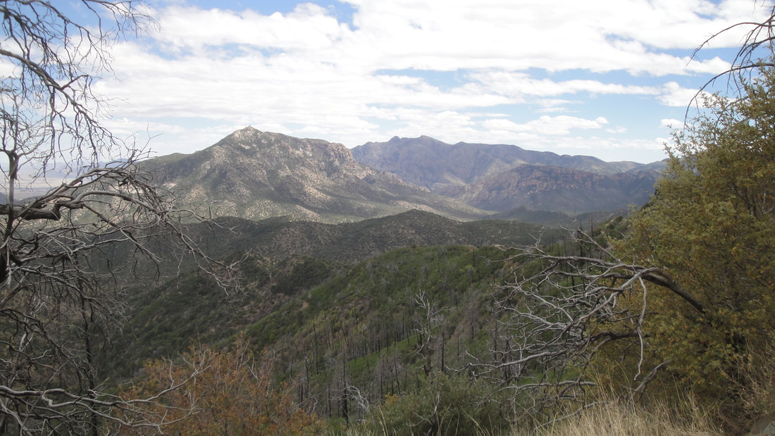
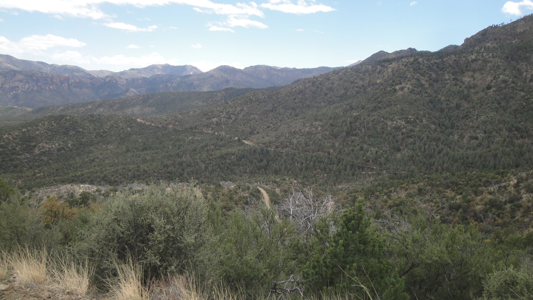
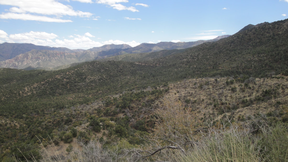
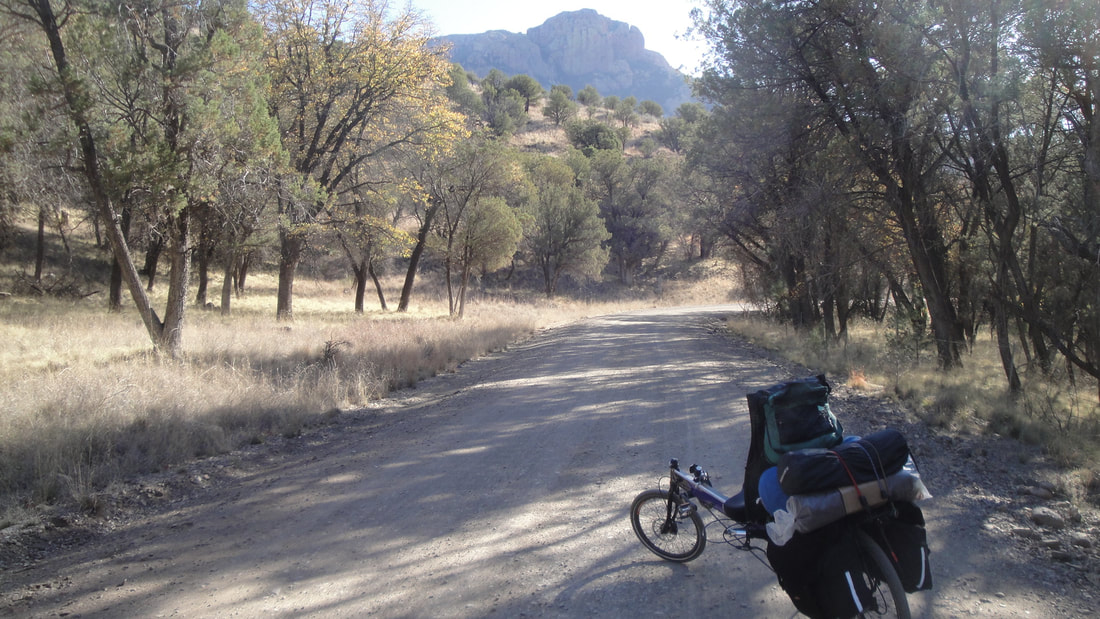
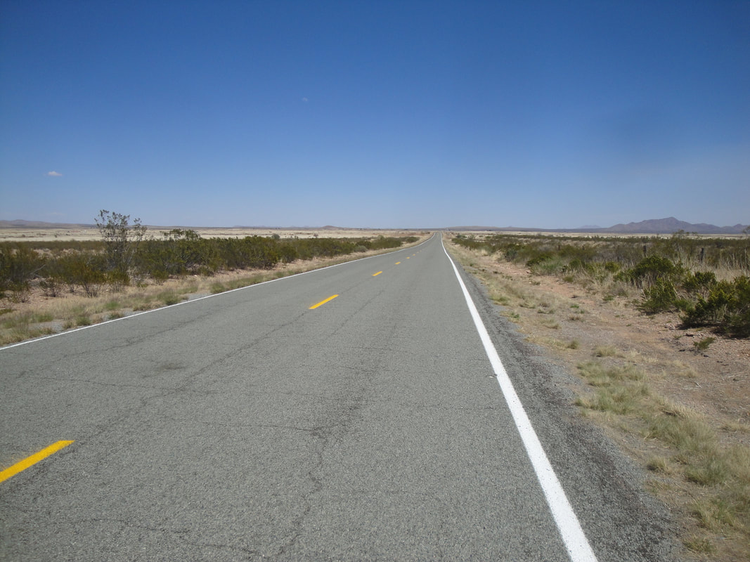
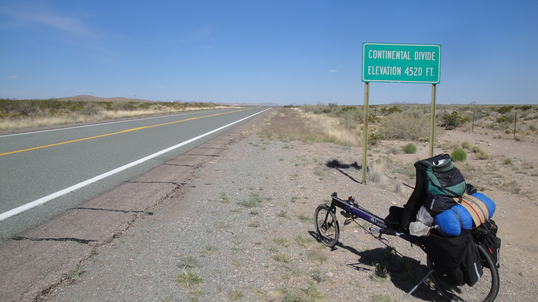
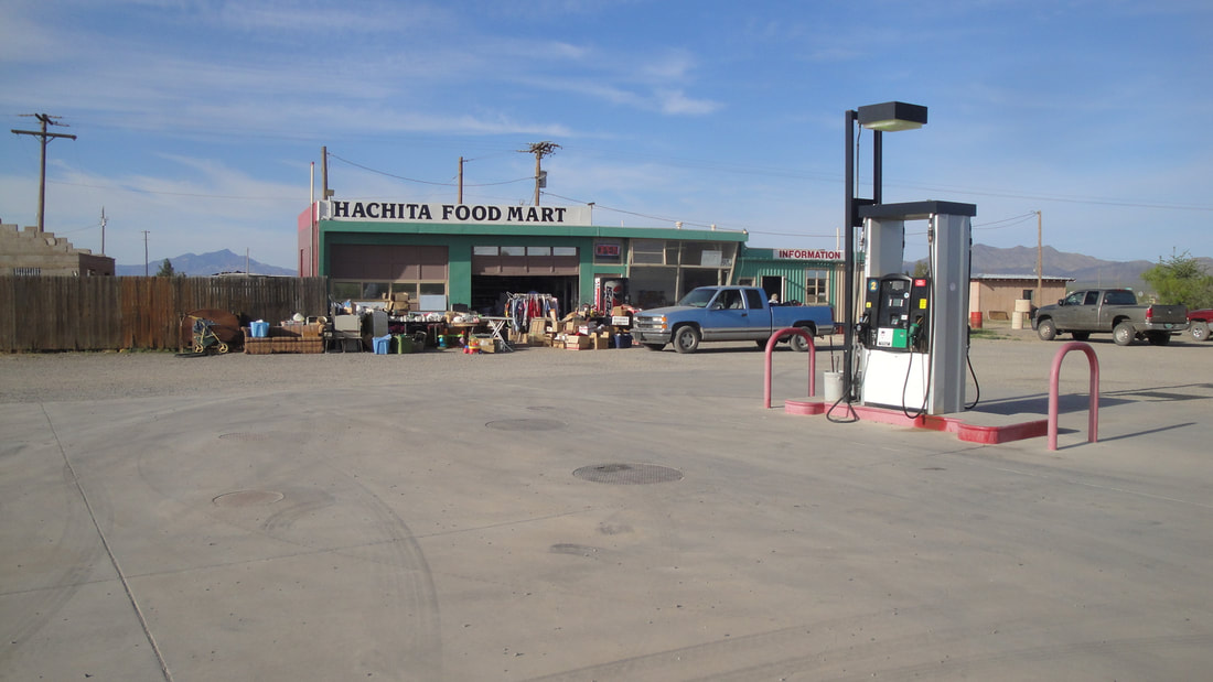
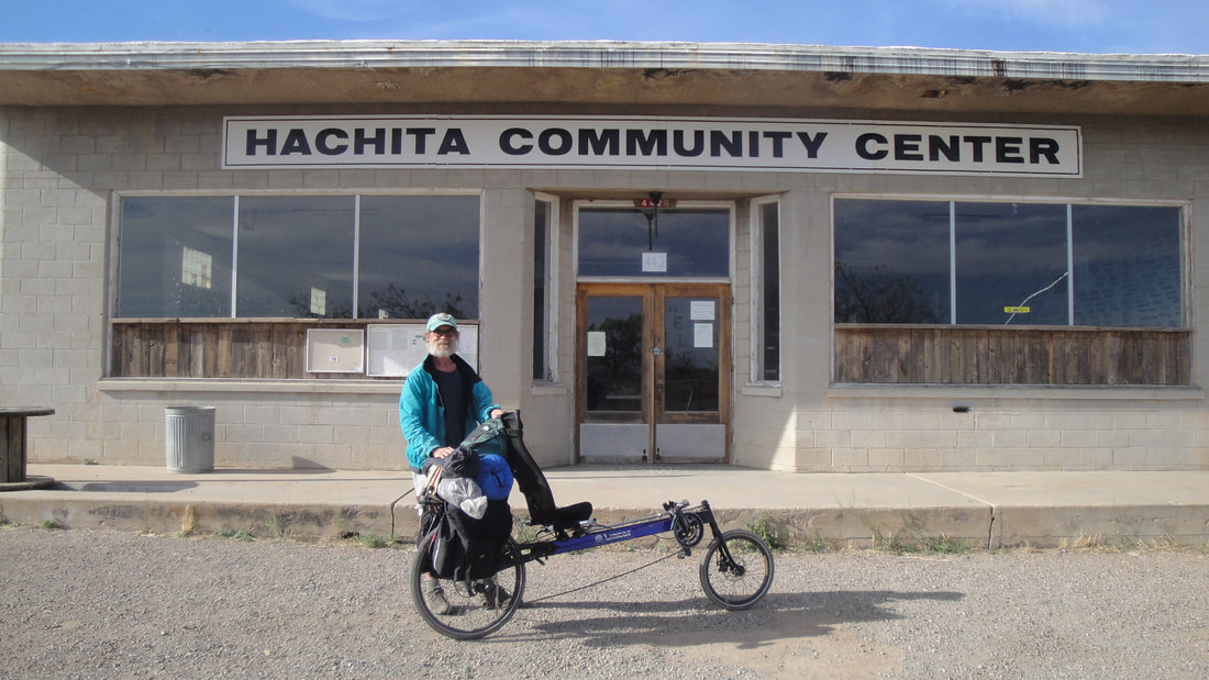
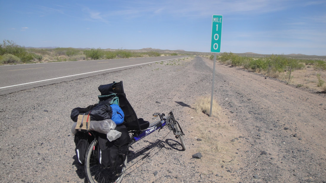
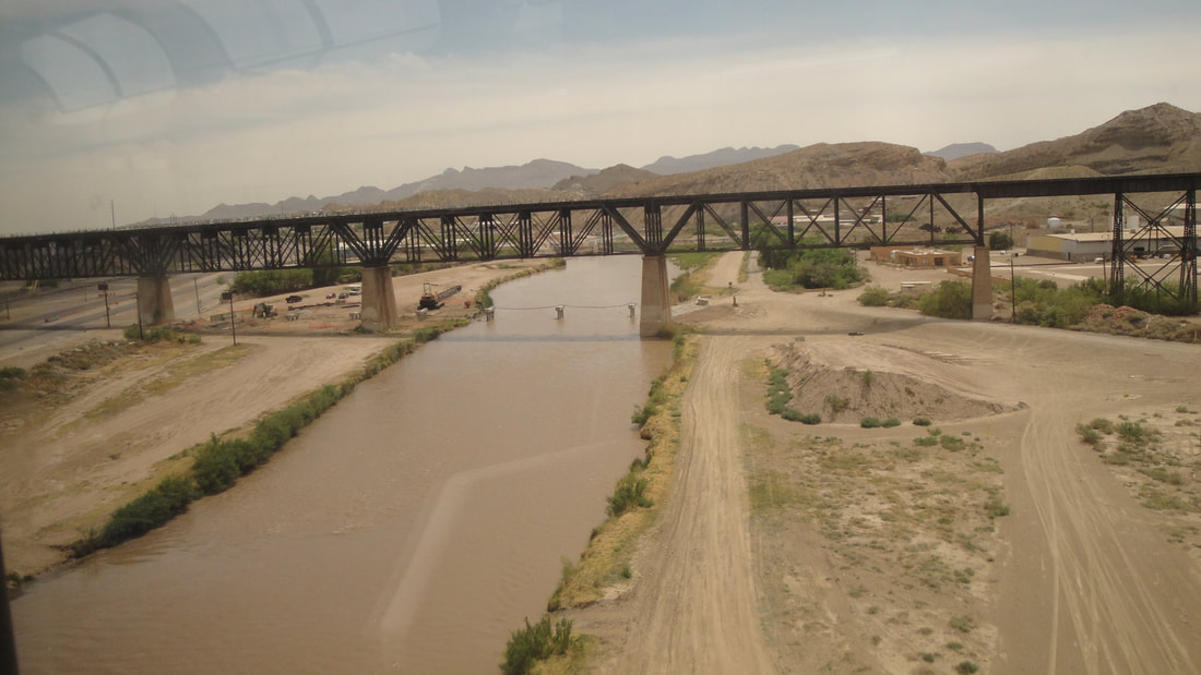
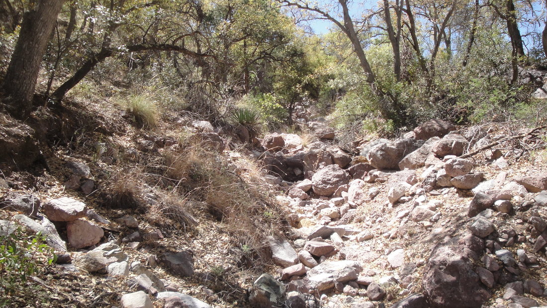
Bisbee to the Chirachuas featured a long downhill of several miles followed by 30 or so miles of flat to slightly up slope biking. The gravel shortcut saved some distance but not time or effort. I was able to bike up slope into the national forest [dry with modest sized trees]. I found a nice campsite just as daylight was starting to fade. The next day would be a big climb.