Suburban Permaculture
  • Home
    • Mission Statement and Orientation
    • Bio +
  • What Have I Done
    • Before and Now
    • Concrete Removal
    • Sheet Mulching
    • Water Storage & Management
    • Solar Features >
      • Bungalow Solar
      • Sun Room
      • Cold Frames
      • Green House
    • Fencelines
    • Vertical Landscaping
    • Water Features and Habitat
    • Bungalow
    • Hedge to Food Forest
    • From the Rooftop
    • Plant List
    • Harvest Season
    • Food Projects
    • Car Port Conversion
    • Community Asset
  • Media
    • Arrange a Presentation >
      • Curriculum Vitae
      • Listing of Topics I Can Address >
        • Guest Presenter
        • Topics and Issues for Guest Presentations
        • Brief Slide Show
    • Podcasts
    • 3 Zooms
    • Presentations >
      • Democracy
      • Other Videos
    • Posters >
      • Creating Safer & More Secure Neighborhoods
      • Transforming A Suburban Property
      • Front Yard Gardens
      • New Poster
    • Meet CAPF
    • Art Work
    • 2045 - A Paradigm Shift Odyssey
    • Pacifica 7
    • Media Archives >
      • Conversations
    • Writings >
      • Communities Magazine >
        • Part One Summer CoMag
        • Part Two Fall CoMag
        • Part Three Co Mag
      • Windmill Co-op >
        • Newbies >
          • Windmill Site Plan
        • The Garden Center
        • Meeting in the Dome
        • The New Cluster
        • The Horse Trolley
        • City Hall
      • Com Mag
      • Preparedness and Resilience
      • Permaculture and Suburbia
      • Cultural and Economic Mythologies
      • Aesthetics >
        • Particular Plants
      • Timeline - Transportation and Suburbia
      • Notes From the Suburban Frontier >
        • Sites to Consider
  • Primer
    • Text Part 1 Primer
    • Text Part 2 Primer
    • Companion to Primer
  • Actions
    • Block Planning
    • Maitreya Eco Village, Eugene
    • N Street Co-op, Davis, Cal
    • Pdx Perma Sites
    • Joni's Place
    • Front Yard Gardens
    • Front Yard Gardens Part 2
    • Alt Residential Eugene
    • Placemaking
    • Jan's Place
    • Neighborhood Tour
    • Filbert Grove
    • Corvallis Neighborhood
    • Past Convergences
    • River Road 1936
  • Adventures
    • Travel and Bike >
      • Southwest Trip
      • Hawaii 2016
      • Costa Rica
      • Basin and Range
      • Coast Bike Ride
      • Shafer Trail
    • Europe U Tube >
      • European All Fotos >
        • Groningen and Houten
        • Strasbourg and Freiberg/Vauban
        • Paris, Abilly, Velodyssee, Biarittz
        • Barcelona
        • Toulon, French Coast
        • Cote d' Azur
        • Imperia to Trento
        • Trento to Como
        • Como, Bergamo, 5 Terre
        • Arriving to Corsica
        • Calvi, Casa Campeggio, Mural, Bonifacio
        • Enter Sardegna, Alghero
        • Alghero, Surf, Iglesias
        • Cagliari and Soleminis
        • Soleminis, PC Visits, Cagliari, Train
        • Mountains, Nuoro to Cala Gonone
        • Cala Gonone
        • Cala Gonone to Mara
        • Alghero II - Grotto Nettuno
        • Alghero, Sassari to Barcelona
        • Copenhagen
  • Archives
    • Odds and Ends >
      • Fall/Winter PC
      • Sept 17 Presentations
      • NWPCC Series
    • Year Reviews >
      • Review 2022
    • GERC and NUSA Conferences
    • Short Stories
    • N'hood Plan
    • Envision Eugene
    • G & R Graphic
    • 2017 NW PC Convergence
    • Contact >
      • Interviews
      • Presentations - Green and Resilient
      • Preparedness and Resilience Conference
      • Convergence & Positions
      • Contact
      • Downsize Graphic
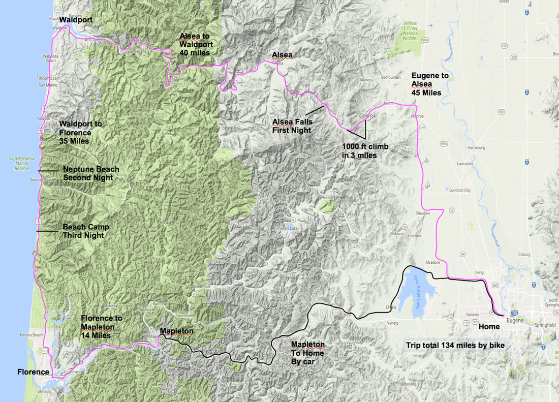
In early June, 2017, I loaded up my recumbent for a four day bike ride to the coast. I had been wanting to see this un familiar general area of the coast range for years.  My bike geek friend, Bruce, in Corvallis e mailed me a link to an interactive map on a bike geek website of a bike ride he took with his geeky bike club pals that really caught my attention - the map of their ride showed the route they took in color superimposed on a map of the area. Even better, there was also an elevation profile of the entire ride below the map. When you put the mouse cursor anywhere on the colored route, that place would be indicated on the corresponding elevation profile.  Wow!! That resonates with my love for geography and travel!!

Their ride took in where I would ride coming from Eugene - our itineraries would be the same from Monroe to Alsea.  I could see the elevation profile of where I would be biking. I could not resist that.  Earlier, I had been thinking of a different way to go from the flat Willamette Valley to coast. Seeing that interactive map made me say, me too, I want to go that way.

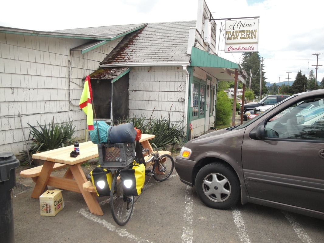
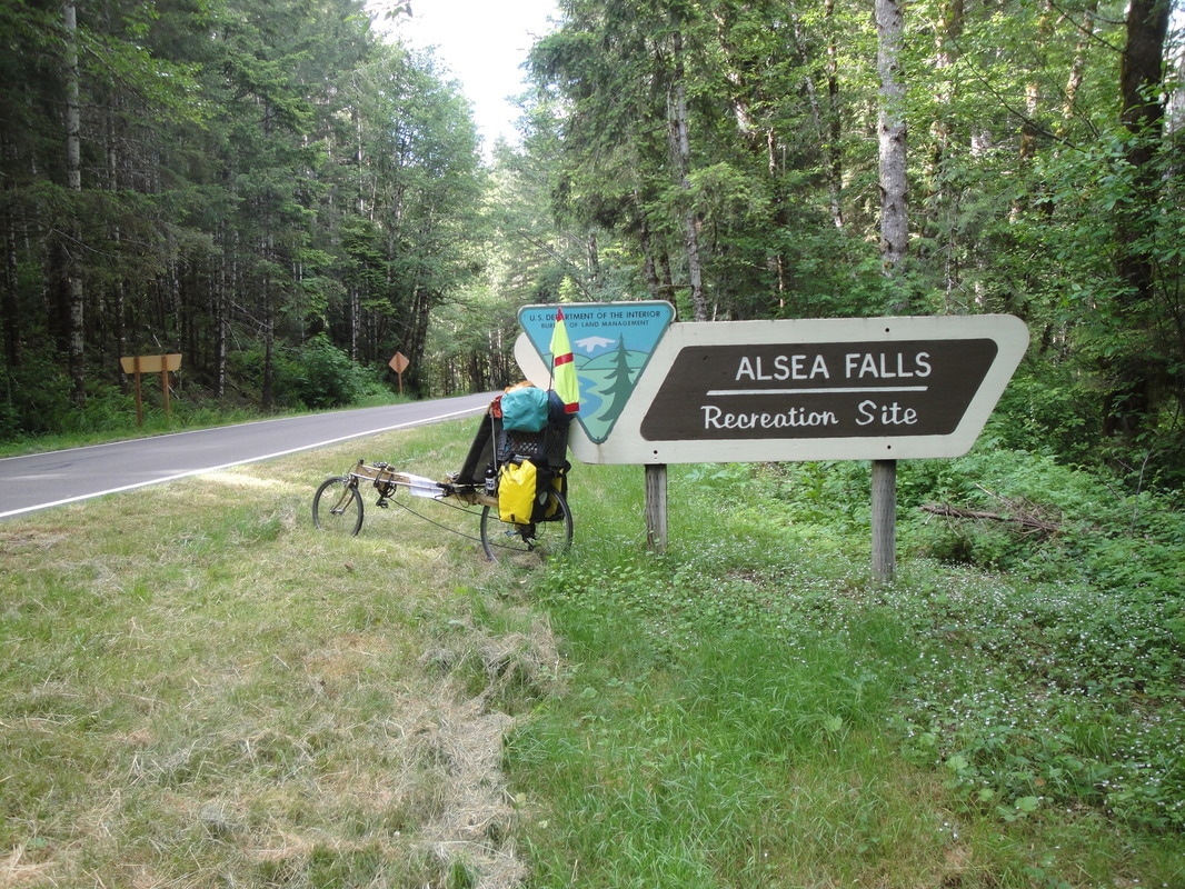
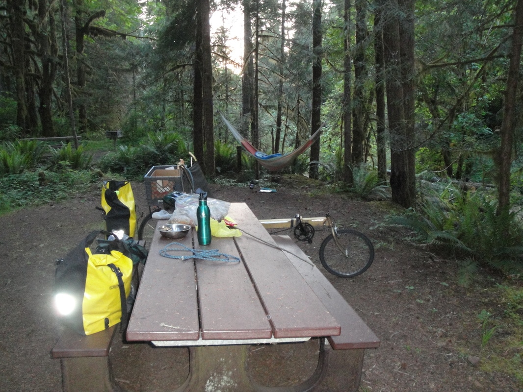
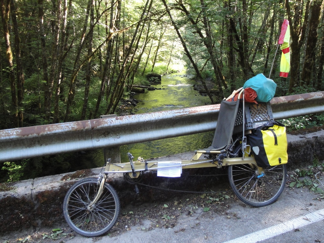
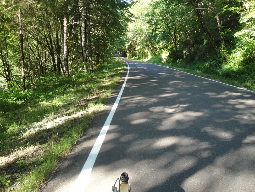
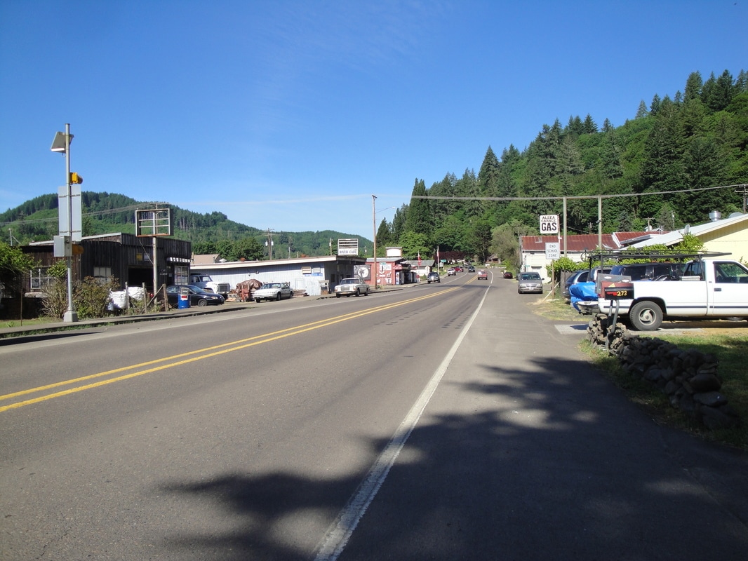
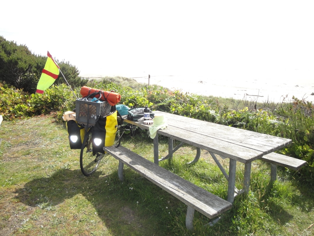
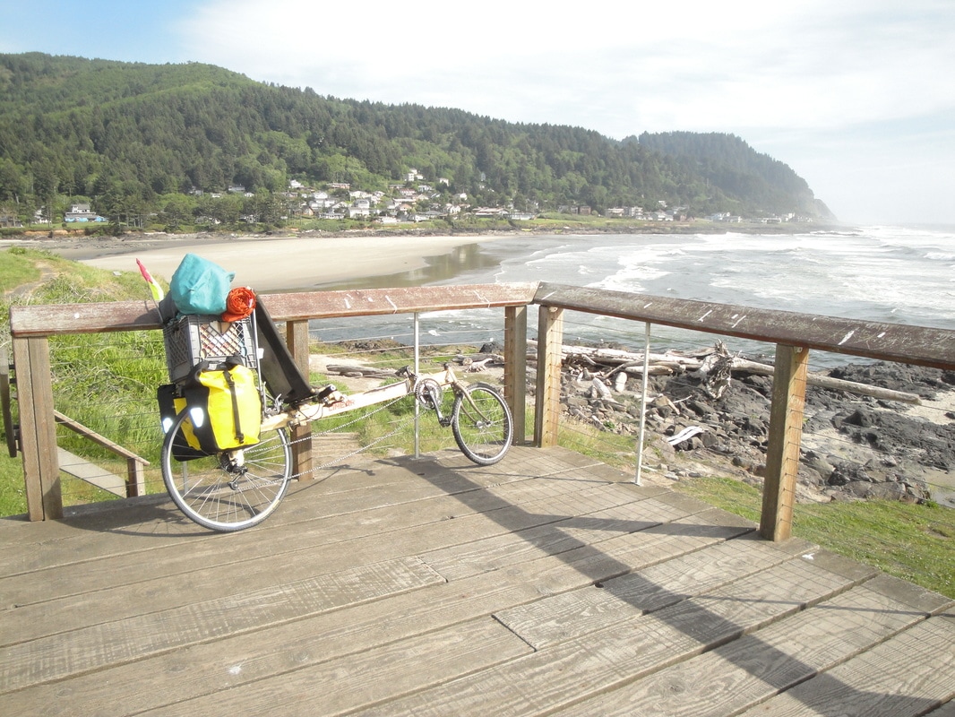
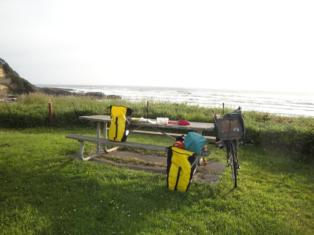
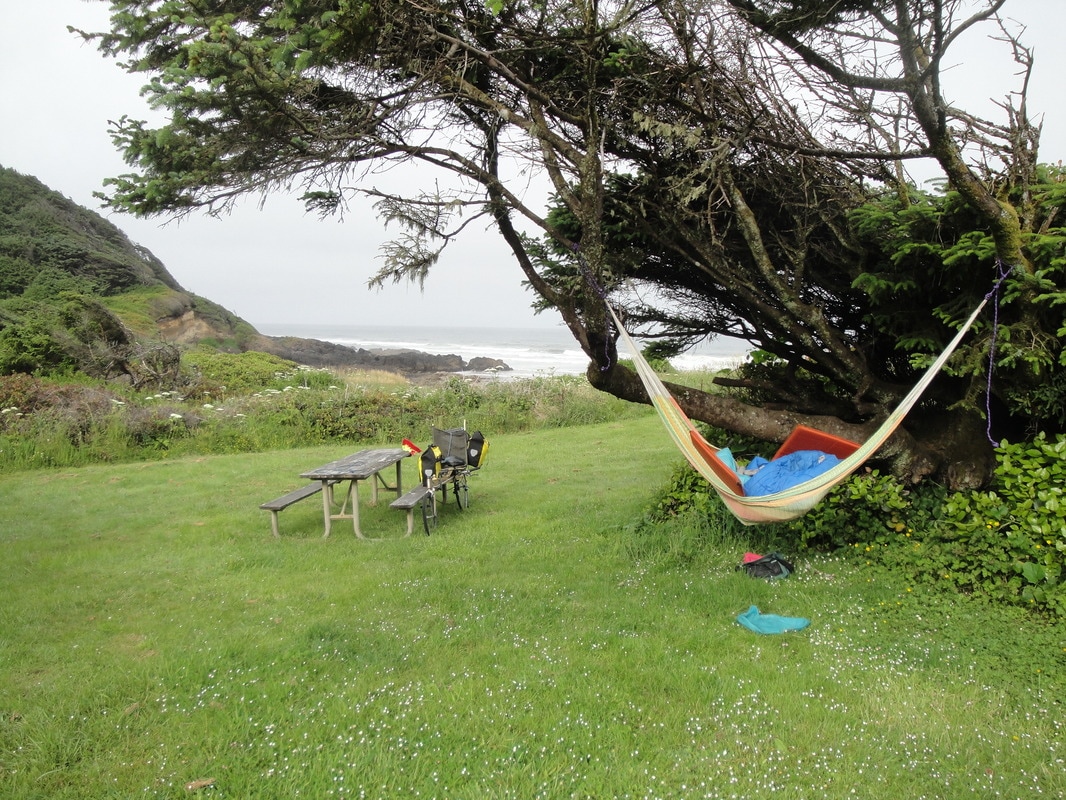
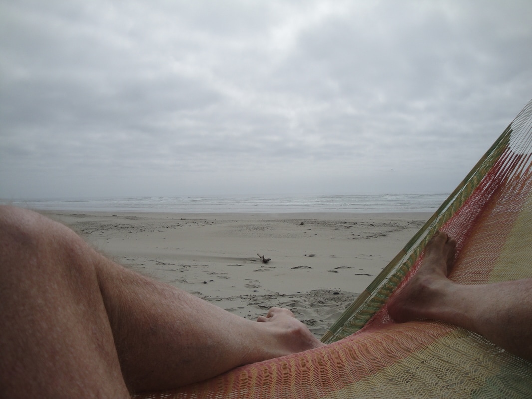
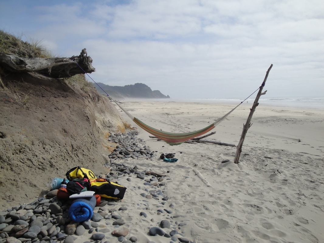
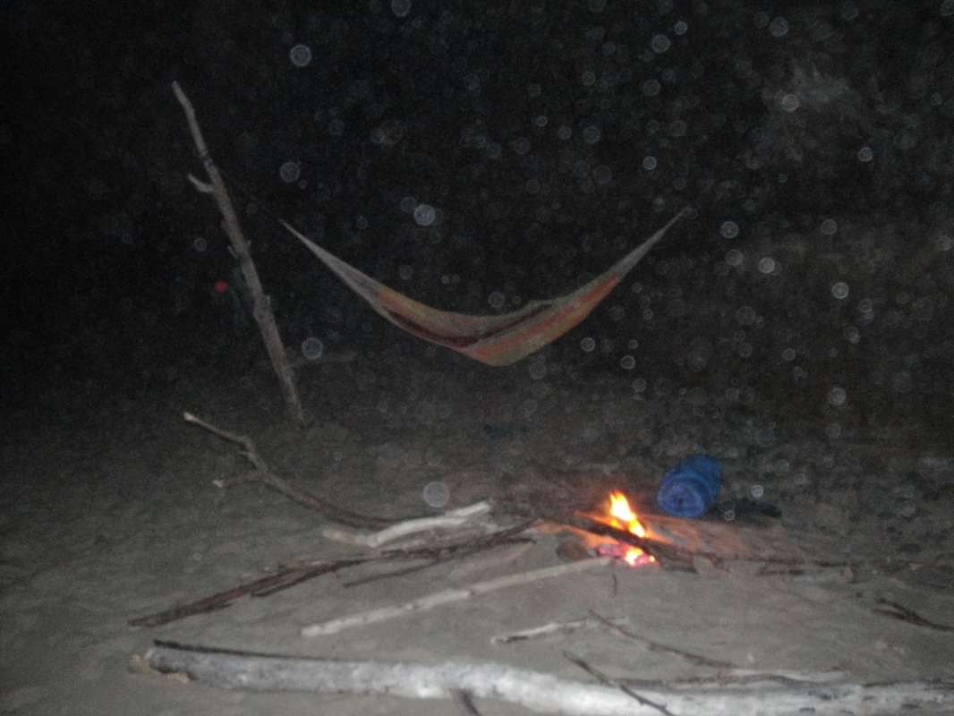
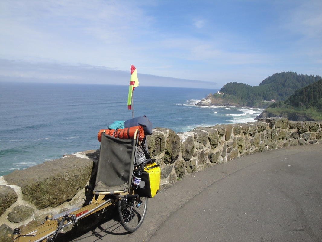
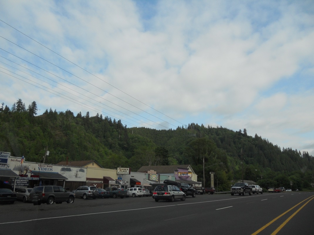
So the ride included  the agricultural Willamette Valley, the natural resource impacted coastal mountains and the very scenic Oregon coast.  There were two modes of transportation - bike and car. I would become a bicycle nomad for four days. The much reviled automobile became a welcome site as it turned out.  The fotos with captions below tell the story.


You can put the mouse cursor over the fotos below for the captions.  You can also clik and enlarge the foto.
Picture
Please contact me with questions and comments.