Suburban Permaculture
  • Home
    • Mission Statement and Orientation
    • Bio +
  • What Have I Done
    • Before and Now
    • Concrete Removal
    • Sheet Mulching
    • Water Storage & Management
    • Solar Features >
      • Bungalow Solar
      • Sun Room
      • Cold Frames
      • Green House
    • Fencelines
    • Vertical Landscaping
    • Water Features and Habitat
    • Bungalow
    • Hedge to Food Forest
    • From the Rooftop
    • Plant List
    • Harvest Season
    • Food Projects
    • Car Port Conversion
    • Community Asset
  • Media
    • Arrange a Presentation >
      • Curriculum Vitae
      • Listing of Topics I Can Address >
        • Guest Presenter
        • Topics and Issues for Guest Presentations
        • Brief Slide Show
    • Podcasts
    • 3 Zooms
    • Presentations >
      • Democracy
      • Other Videos
    • Posters >
      • Creating Safer & More Secure Neighborhoods
      • Transforming A Suburban Property
      • Front Yard Gardens
      • New Poster
    • Meet CAPF
    • Art Work
    • 2045 - A Paradigm Shift Odyssey
    • Pacifica 7
    • Media Archives >
      • Conversations
    • Writings >
      • Communities Magazine >
        • Part One Summer CoMag
        • Part Two Fall CoMag
        • Part Three Co Mag
      • Windmill Co-op >
        • Newbies >
          • Windmill Site Plan
        • The Garden Center
        • Meeting in the Dome
        • The New Cluster
        • The Horse Trolley
        • City Hall
      • Com Mag
      • Preparedness and Resilience
      • Permaculture and Suburbia
      • Cultural and Economic Mythologies
      • Aesthetics >
        • Particular Plants
      • Timeline - Transportation and Suburbia
      • Notes From the Suburban Frontier >
        • Sites to Consider
  • Primer
    • Text Part 1 Primer
    • Text Part 2 Primer
    • Companion to Primer
  • Actions
    • Block Planning
    • Maitreya Eco Village, Eugene
    • N Street Co-op, Davis, Cal
    • Pdx Perma Sites
    • Joni's Place
    • Front Yard Gardens
    • Front Yard Gardens Part 2
    • Alt Residential Eugene
    • Placemaking
    • Jan's Place
    • Neighborhood Tour
    • Filbert Grove
    • Corvallis Neighborhood
    • Past Convergences
    • River Road 1936
  • Adventures
    • Travel and Bike >
      • Southwest Trip
      • Hawaii 2016
      • Costa Rica
      • Basin and Range
      • Coast Bike Ride
      • Shafer Trail
    • Europe U Tube >
      • European All Fotos >
        • Groningen and Houten
        • Strasbourg and Freiberg/Vauban
        • Paris, Abilly, Velodyssee, Biarittz
        • Barcelona
        • Toulon, French Coast
        • Cote d' Azur
        • Imperia to Trento
        • Trento to Como
        • Como, Bergamo, 5 Terre
        • Arriving to Corsica
        • Calvi, Casa Campeggio, Mural, Bonifacio
        • Enter Sardegna, Alghero
        • Alghero, Surf, Iglesias
        • Cagliari and Soleminis
        • Soleminis, PC Visits, Cagliari, Train
        • Mountains, Nuoro to Cala Gonone
        • Cala Gonone
        • Cala Gonone to Mara
        • Alghero II - Grotto Nettuno
        • Alghero, Sassari to Barcelona
        • Copenhagen
  • Archives
    • Odds and Ends >
      • Fall/Winter PC
      • Sept 17 Presentations
      • NWPCC Series
    • Year Reviews >
      • Review 2022
    • GERC and NUSA Conferences
    • Short Stories
    • N'hood Plan
    • Envision Eugene
    • G & R Graphic
    • 2017 NW PC Convergence
    • Contact >
      • Interviews
      • Presentations - Green and Resilient
      • Preparedness and Resilience Conference
      • Convergence & Positions
      • Contact
      • Downsize Graphic

Basin and Range

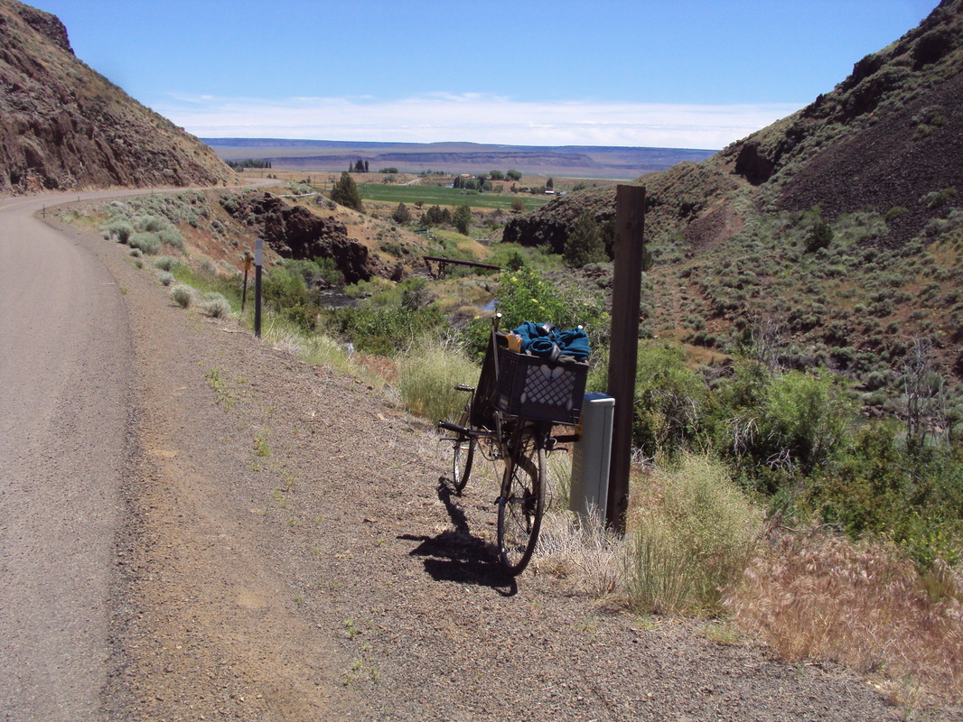
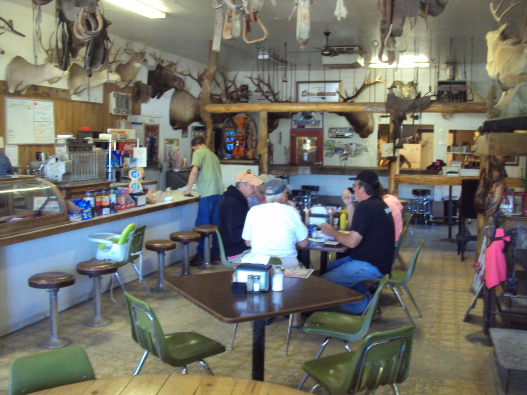
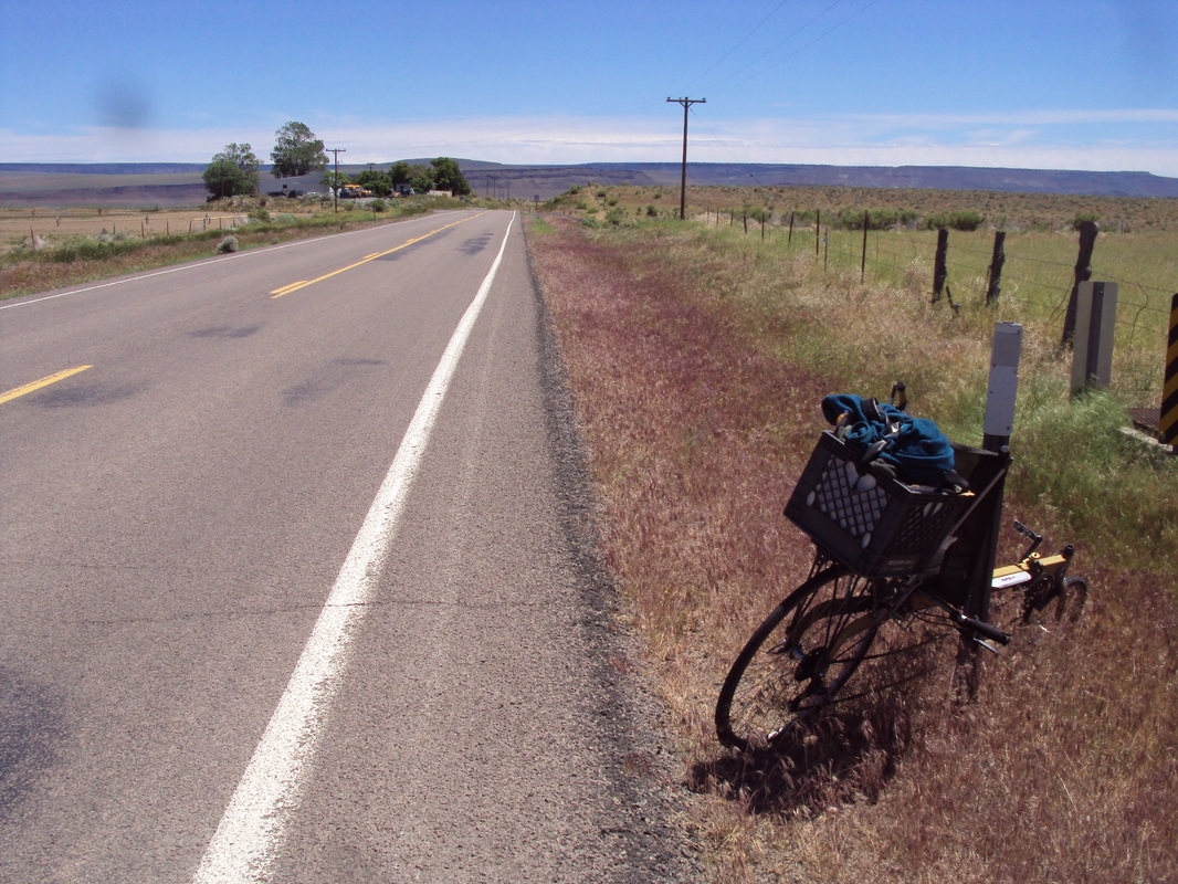
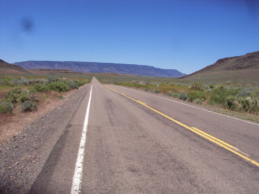
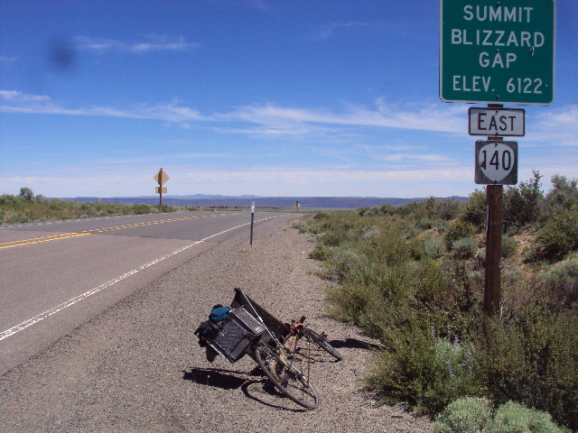
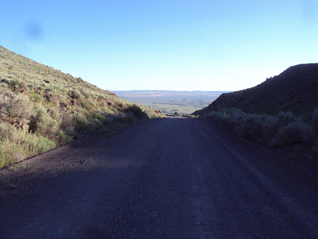
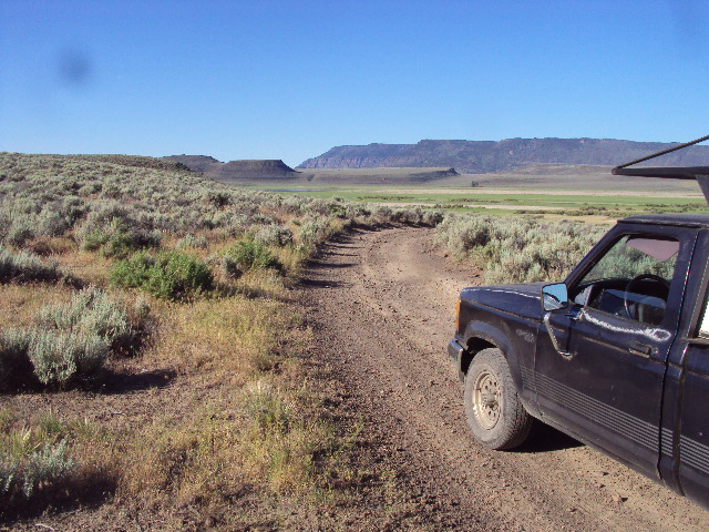
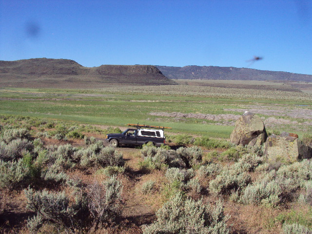
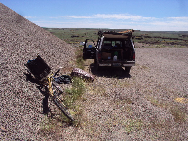
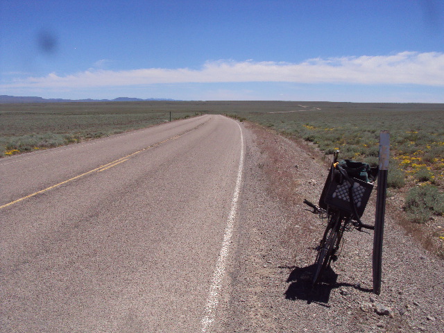
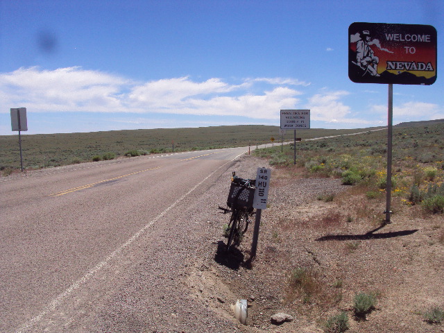
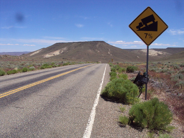
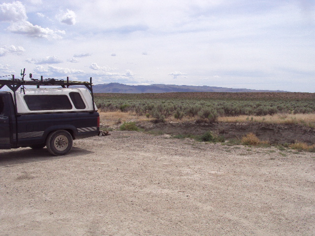
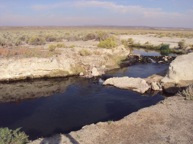
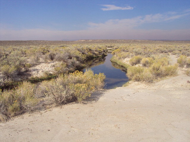
In mid June, I visited SE Oregon and a bit of northern Nevada.  State Highway 140 connects Lakeview Oregon with Denio, Nevada.  Its a really beautiful landscape with a lot of elevation change.  Flat valleys with steep walls rising thousands of feet. The primary goals were, one, to bike about 100 miles east of Lakeview which would take me to goal two, Bog Hot Springs.  That would take two days and involve some logistical challenges and a bit of risk. Here is the story.

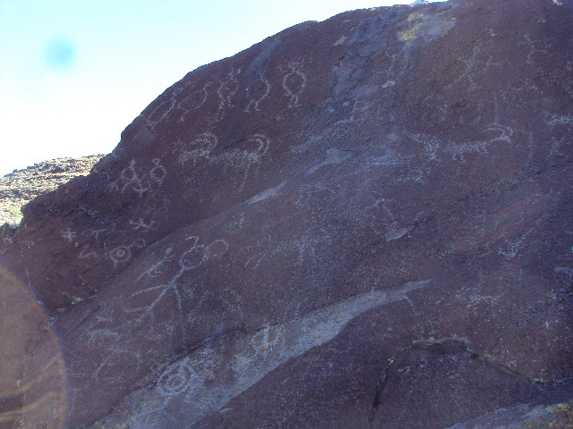
Each foto caption will tell a part of the story.
The yellow line east from Lakeview and dipping into Nevada is the actual bike ride ending a bog hot springs

Picture
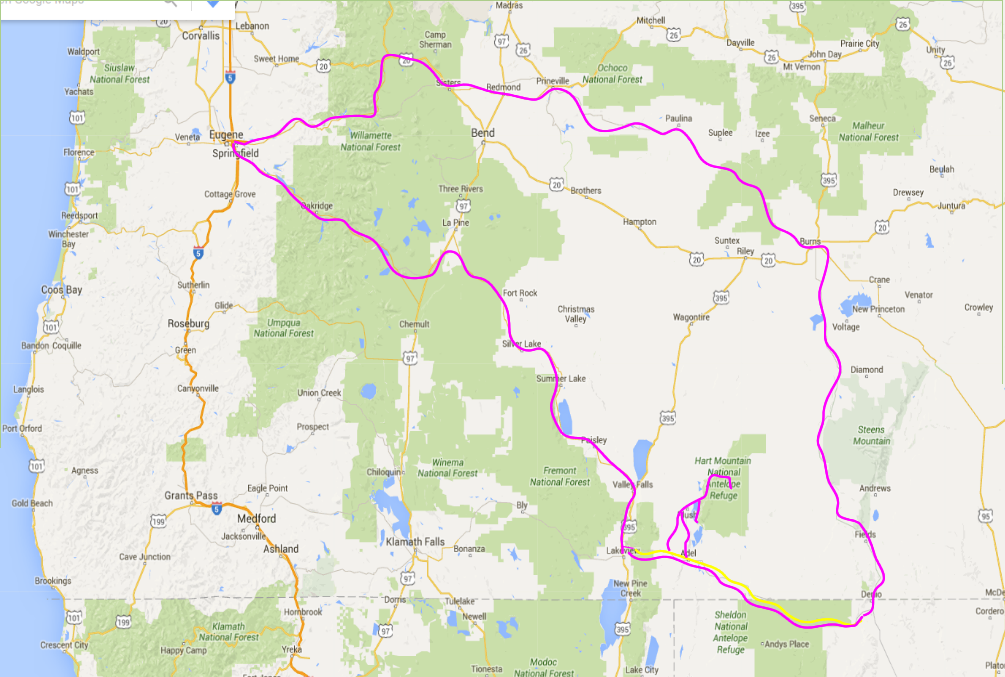
Map Above is the overall itinerary.
Picture
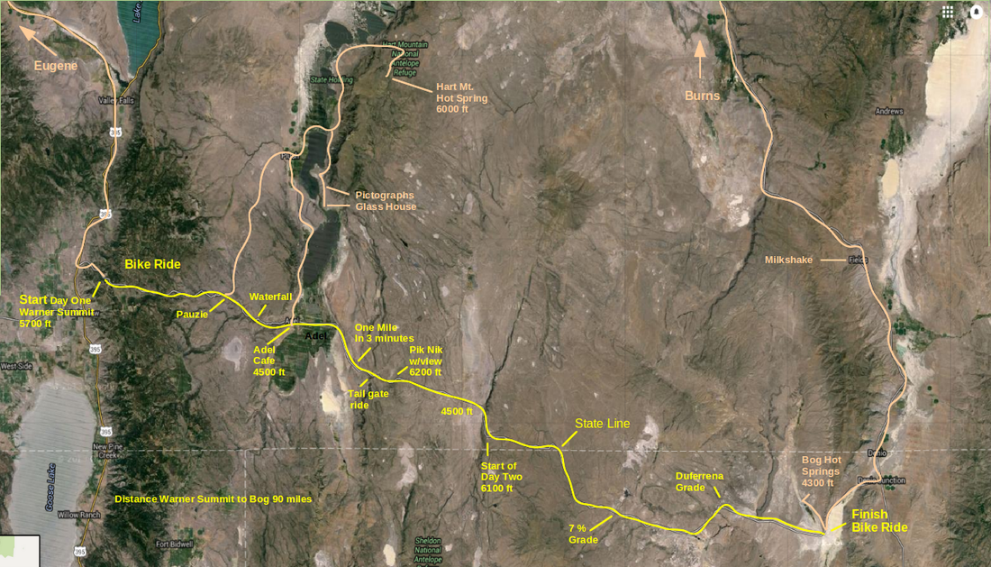
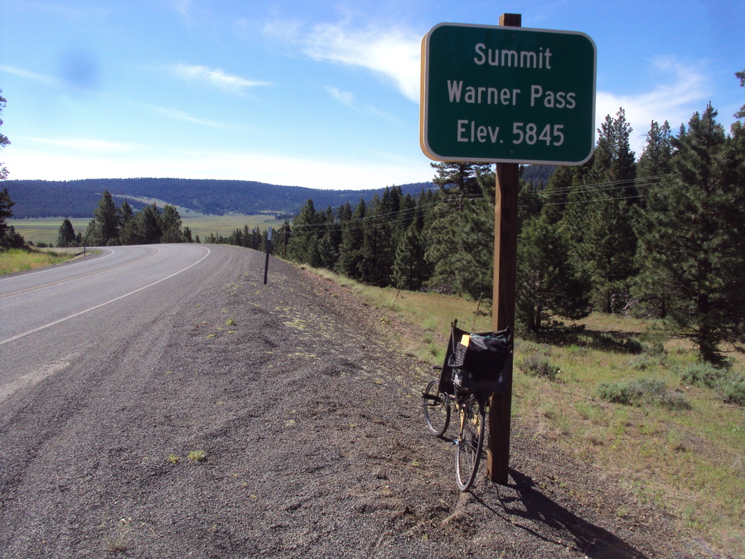
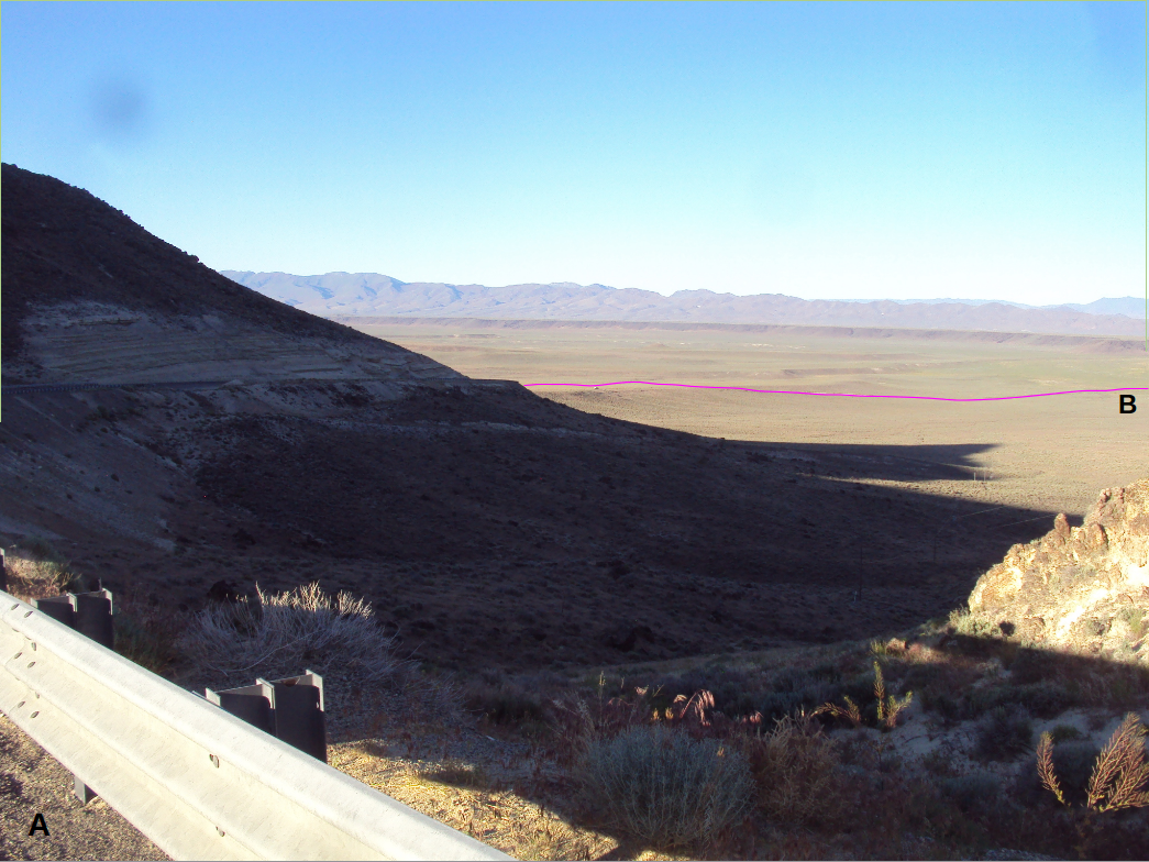
Map above.  More detail  Several fotos below are identified on the map.  Yellow is the bike ride.  Orange by car.   Warner Summit to Bog was also driven in the truck.


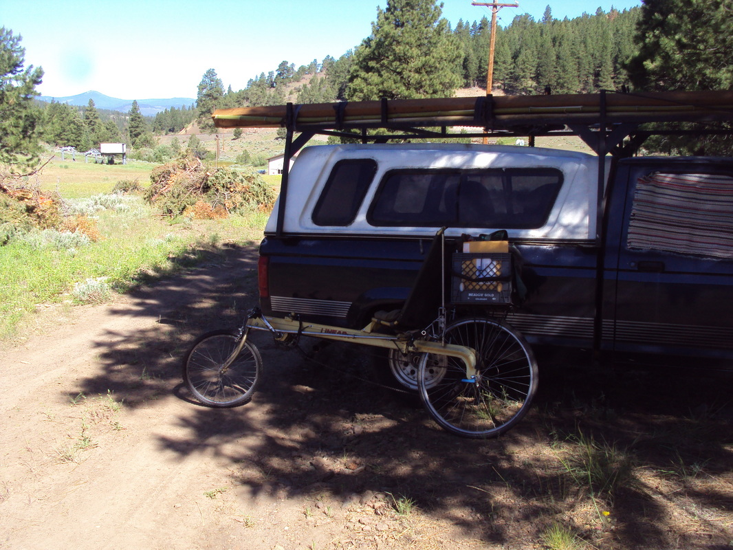
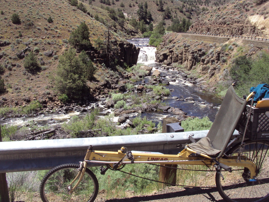
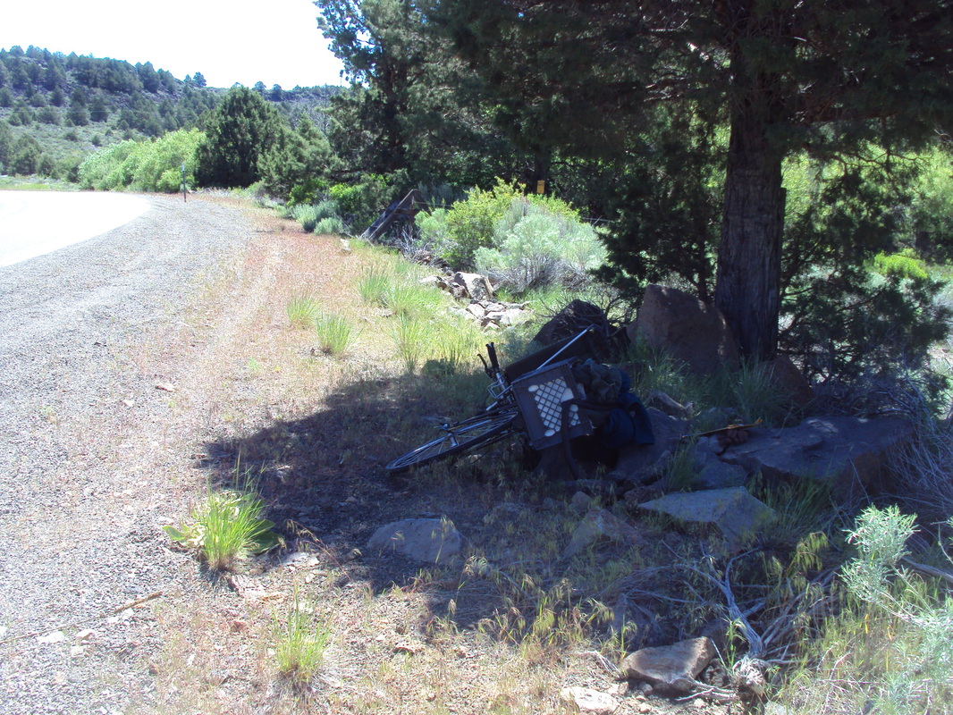
Klik on the foto for a larger image.

Please contact me with questions and comments.